search.ch

Obwaldner Höhenweg

Regional route No. 57, Alpnachstad (Pilatus)–Langis
  • Image 1

Description

Regional route
No. 57 (Alpnachstad (Pilatus)–Langis)
Length
22 km
Ascent • Descent
↑ 1050 m • ↓ 1650 m
Lowest point • Highest point
1180 m • 2063 m
Hiking time
7 h 10 min
Grade
medium (mountain hiking trail)
Fitness level
difficult
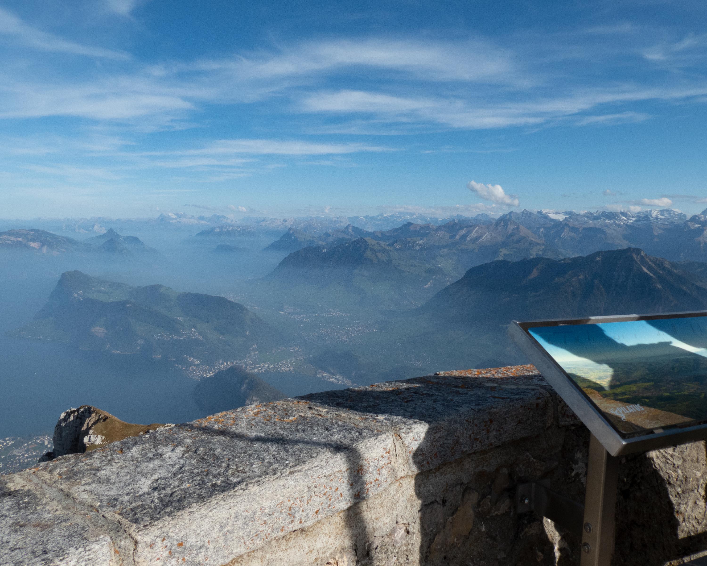
Up to Pilatus with the world's steepest cogwheel railway. Sensational panorama of countless Alpine summits; historic hotel. Lovely moorland landscapes on the way through the Schlierental and across the Schlierengrat in the region of the Entlebuch biosphere reserve.

Height profile

Weather:

Comments about this activity or place?

Thank you for your feedback!