search.ch

Obwaldner Höhenweg

Regional route No. 57, Brünigpass–Melchsee-Frutt
  • Image 1

Description

Regional route
No. 57 (Brünigpass–Melchsee-Frutt)
Length
23 km
Ascent • Descent
↑ 1900 m • ↓ 1000 m
Lowest point • Highest point
967 m • 2230 m
Hiking time
8 h 40 min
Grade
medium (mountain hiking trail)
Fitness level
difficult
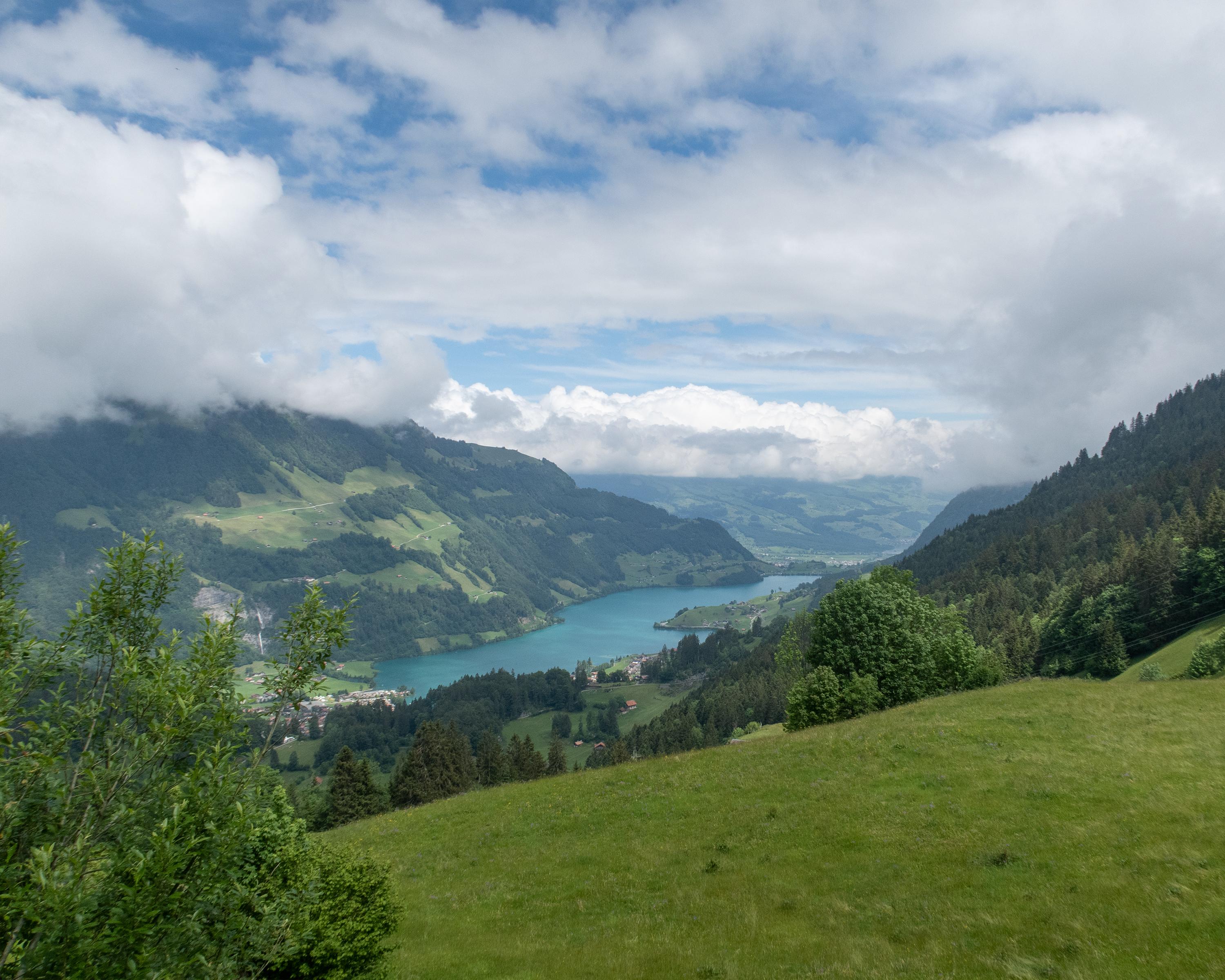
High above the Lungernsee lake, passing quaint alp chapels, the path climbs to Älggialp and the geographical centre of Switzerland. Over a rock barrier to the lake plateau of Melchsee-Frutt at a lofty altitude, goal of rest and recreation seekers in summer and winter.

Height profile

Weather:

Comments about this activity or place?

Thank you for your feedback!