search.ch

Gamplüt-Säntis-Weg

Local route No. 951, Wildhaus, Gamplüt–Säntis
  • Image 1

Description

Local route
No. 951 (Wildhaus, Gamplüt–Säntis)
Length
10 km
Ascent • Descent
↑ 1500 m • ↓ 400 m
Lowest point • Highest point
1348 m • 2478 m
Hiking time
5 h
Grade
medium (mountain hiking trail)
Fitness level
difficult
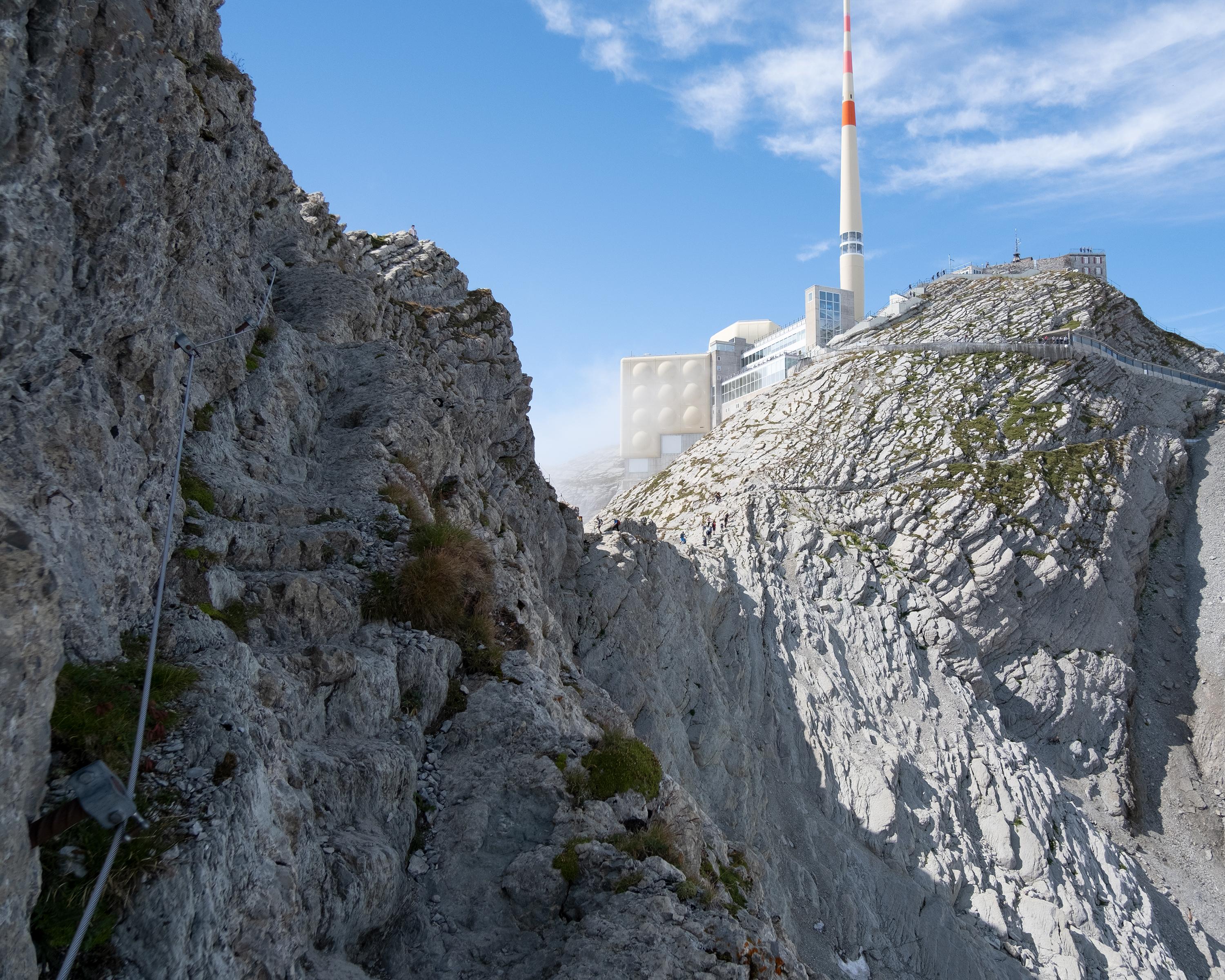
This is a tour for those who like uphill hiking: The path first crosses a colourful sea of flowers all the way to Alp Tesel, then zigzags higher and higher across Zwingli Pass and Rotstein Pass. You can see the destination far ahead, before the route ends via Lisengrat on Mt. Säntis, the most prominent mountain in Eastern Switzerland.

Booking Information

Height profile

Weather:

Toggenburg Tourismus

Comments about this activity or place?

Thank you for your feedback!