DE
FR
IT
EN
Directory
Weather
Map / Route
Timetable
Leisure
TV guide
Cinema
Web search
Apps
More
Personal Data »
Login:
Register
Password forgotten
or
Log in with local.ch
Log in with Apple
Log in with Facebook
Log in with Google
Log in with LinkedIn
Please note that our new
privacy statement
as well as the revised
terms and conditions of use
apply.
Leisure
Biking
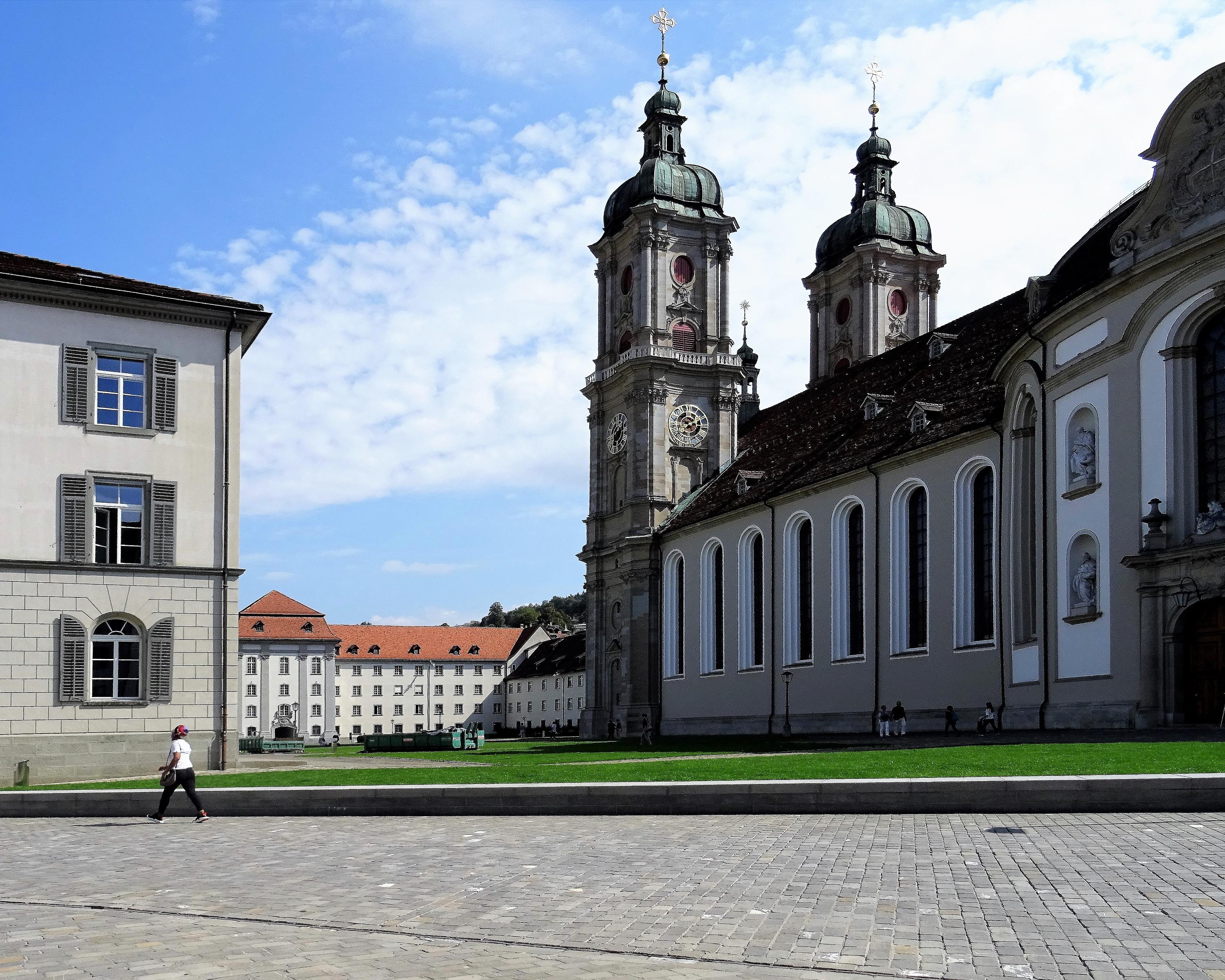
Alpine Panorama Route
National route No. 4, St. Margrethen–Appenzell
Description
National route
No. 4 (St. Margrethen–Appenzell)
Length
46 km
Ascent • Descent
↑ 1100 m • ↓ 740 m
Lowest point • Highest point
401 m • 967 m
Fitness level
difficult
Uphill and down dale in rolling Appenzell, where it’s said that «every second house is a tavern». Friendly farming country with its own character, a finely structured landscape at the foot of the Säntis, marked by a quaint dialect and a dry wit.
Comments on this information?
We welcome your feedback!
Presented by
Route
Height profile
Weather:
More...
Comments about this activity or place?
Incorrect information
Missing information
Another topic
Thank you for your feedback!
Close