search.ch

Weissenstein-Passwang-Weg

Local route No. 478, Welschenrohr–Passwang
  • Image 1

Description

Local route
No. 478 (Welschenrohr–Passwang)
Length
18 km
Ascent • Descent
↑ 950 m • ↓ 720 m
Lowest point • Highest point
680 m • 1201 m
Hiking time
5 h 30 min
Grade
easy (hiking trail)
Fitness level
difficult
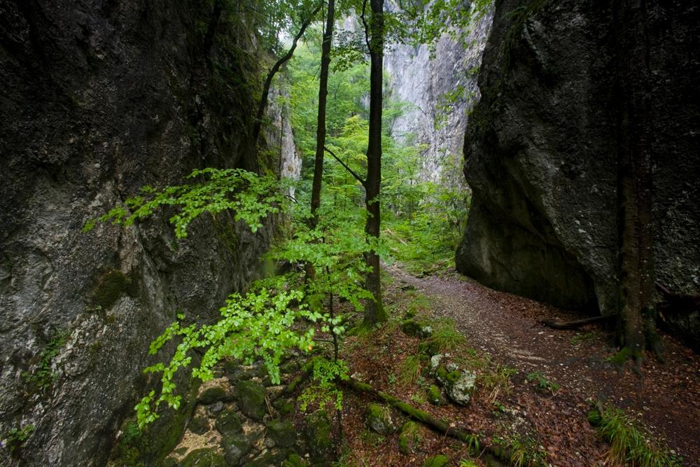
A mountain hike with stunning views over the second and third chain of the Jura mountains. This ruggedly romantic trail through the Wolfsschlucht (Wolf Gorge) will get you in the mood for exploration and adventure. There are numerous mountain restaurant where you can stop for a break along the way.

Booking Information

Height profile

Weather:

Comments about this activity or place?

Thank you for your feedback!