search.ch

Aroser-Weisshorn-Weg

Local route No. 766, Arosa (Mittelstation) Weisshorn–Arosa
  • Image 1

Description

Local route
No. 766 (Arosa (Mittelstation) Weisshorn–Arosa)
Length
10 km
Ascent • Descent
↑ 700 m • ↓ 860 m
Lowest point • Highest point
1837 m • 2650 m
Hiking time
3 h 45 min
Grade
medium (mountain hiking trail)
Fitness level
medium
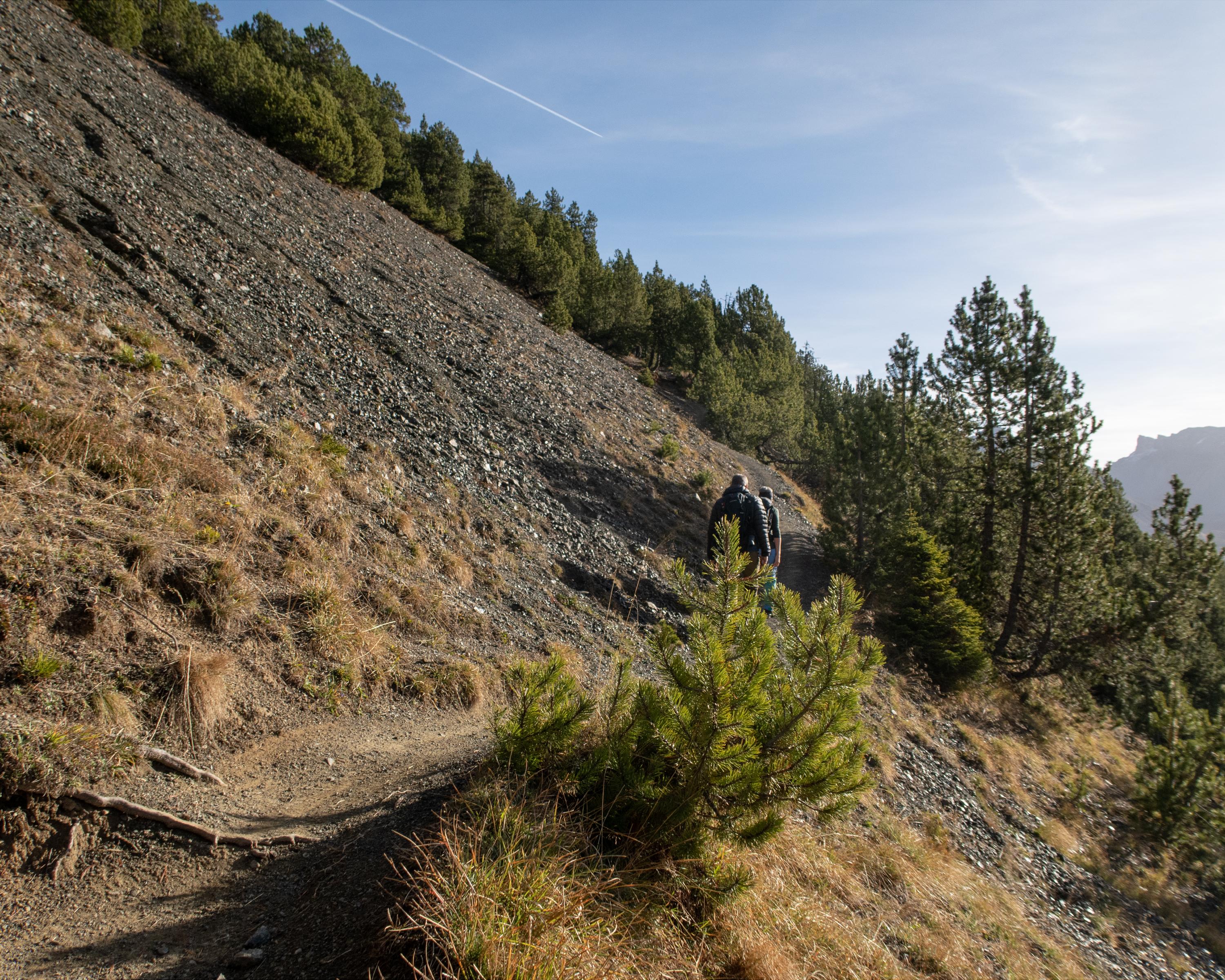
This half-day trip will be heavily rewarded with a fantastic 360° mountain panorama view on the Weisshorn peak. Nonetheless, you should not underestimate the steep ascent and descent to and from the peak. During the summer season, various huts invite you to take a break along the way.

Booking Information

Height profile

Weather:

Comments about this activity or place?

Thank you for your feedback!