DE
FR
IT
EN
Directory
Weather
Map / Route
Timetable
Leisure
TV guide
Cinema
Web search
Apps
More
Personal Data »
Login:
Register
Password forgotten
or
Log in with local.ch
Log in with Apple
Log in with Facebook
Log in with Google
Log in with LinkedIn
Please note that our new
privacy statement
as well as the revised
terms and conditions of use
apply.
Leisure
Hike
Trans Swiss Trail
National route No. 2, Saignelégier–St-Imier
Description
National route
No. 2 (Saignelégier–St-Imier)
Length
20 km
Ascent • Descent
↑ 500 m • ↓ 680 m
Lowest point • Highest point
791 m • 1290 m
Hiking time
5 h 15 min
Grade
easy (hiking trail)
Fitness level
difficult
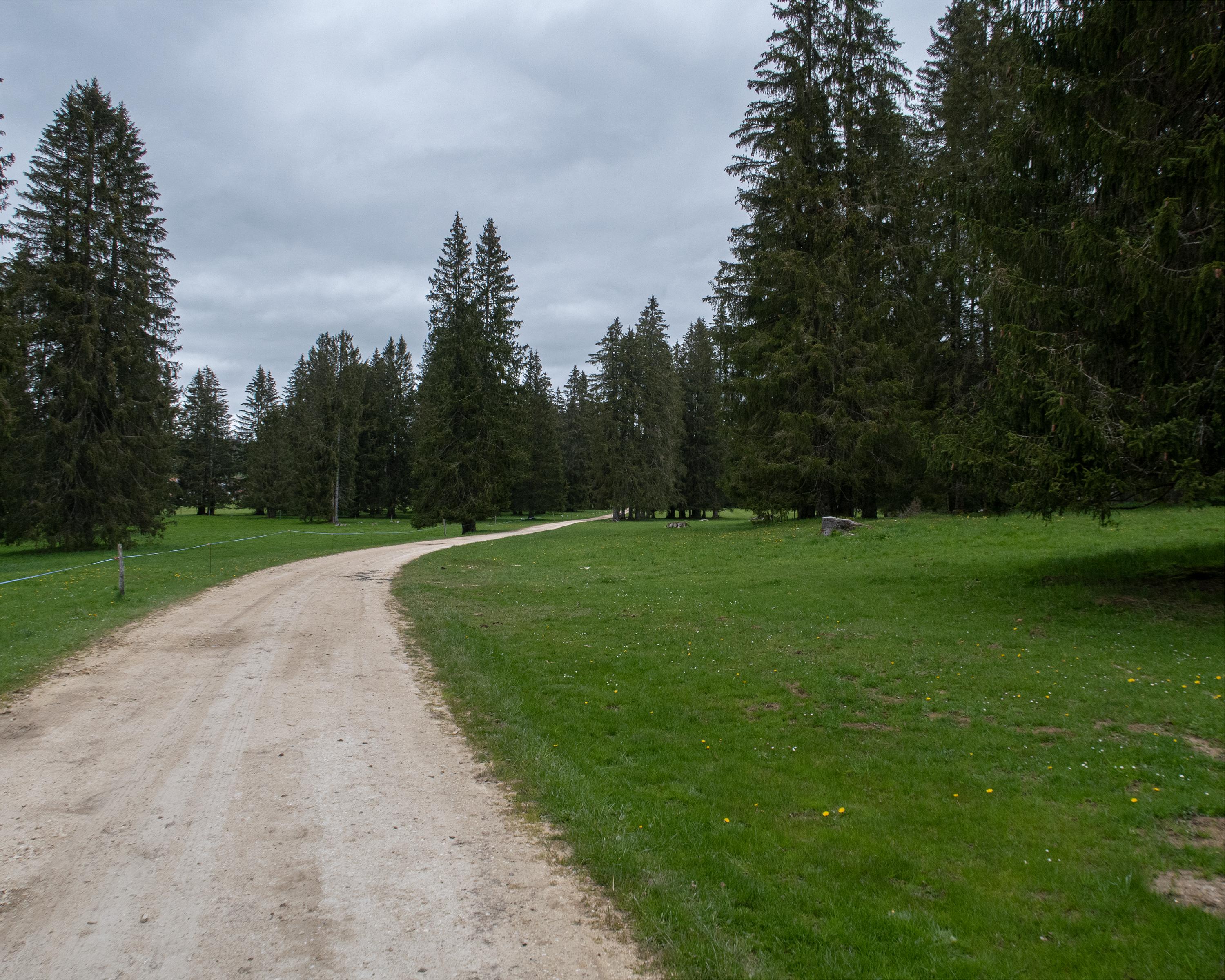
Across lush meadows, between mighty fir trees to «Energy Mountain» and the wind farm with its rotating propellers, visible from afar, and solar panels: Switzerland’s largest plant for renewable energy! Then a steep descent to St-Imier.
Comments on this information?
We welcome your feedback!
Presented by
Route
Height profile
Weather:
More...
Comments about this activity or place?
Incorrect information
Missing information
Another topic
Thank you for your feedback!
Close