DE
FR
IT
EN
Directory
Weather
Map / Route
Timetable
Leisure
TV guide
Cinema
Web search
Apps
More
Personal Data »
Login:
Register
Password forgotten
or
Log in with local.ch
Log in with Apple
Log in with Facebook
Log in with Google
Log in with LinkedIn
Please note that our new
privacy statement
as well as the revised
terms and conditions of use
apply.
Leisure
Hike
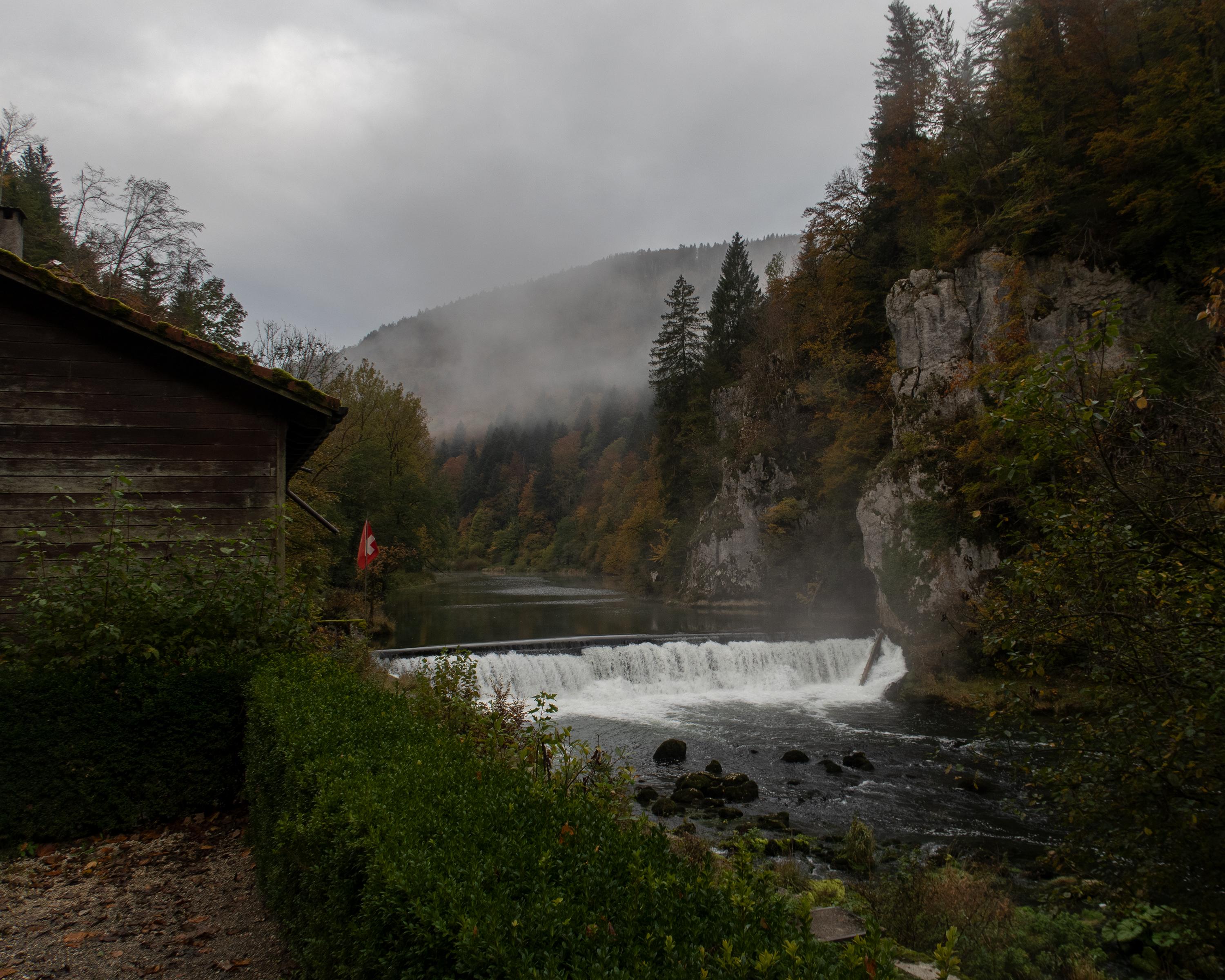
Au fil du Doubs
Regional route No. 95, Les Brenets–St-Ursanne
Description
Regional route
No. 95 (Les Brenets–St-Ursanne)
Length
68 km
Ascent • Descent
↑ 1500 m • ↓ 1950 m
Lowest point • Highest point
432 m • 873 m
Grade
easy (hiking trail)
Fitness level
difficult
This hike does full justice to its name. The trail leads from Les Brenets near La Chaux-de-Fonds to St. Ursanne, almost always alongside the River Doubs and crossing the Doubs Regional National Park from west to east.
Comments on this information?
We welcome your feedback!
Presented by
Route
Height profile
Weather:
More...
Comments about this activity or place?
Incorrect information
Missing information
Another topic
Thank you for your feedback!
Close