search.ch

Via Engiadina

Regional route No. 87, Maloja–Silvaplana
  • Image 1

Description

Regional route
No. 87 (Maloja–Silvaplana)
Length
13 km
Ascent • Descent
↑ 640 m • ↓ 640 m
Lowest point • Highest point
1797 m • 2039 m
Hiking time
4 h
Grade
easy (hiking trail)
Fitness level
medium
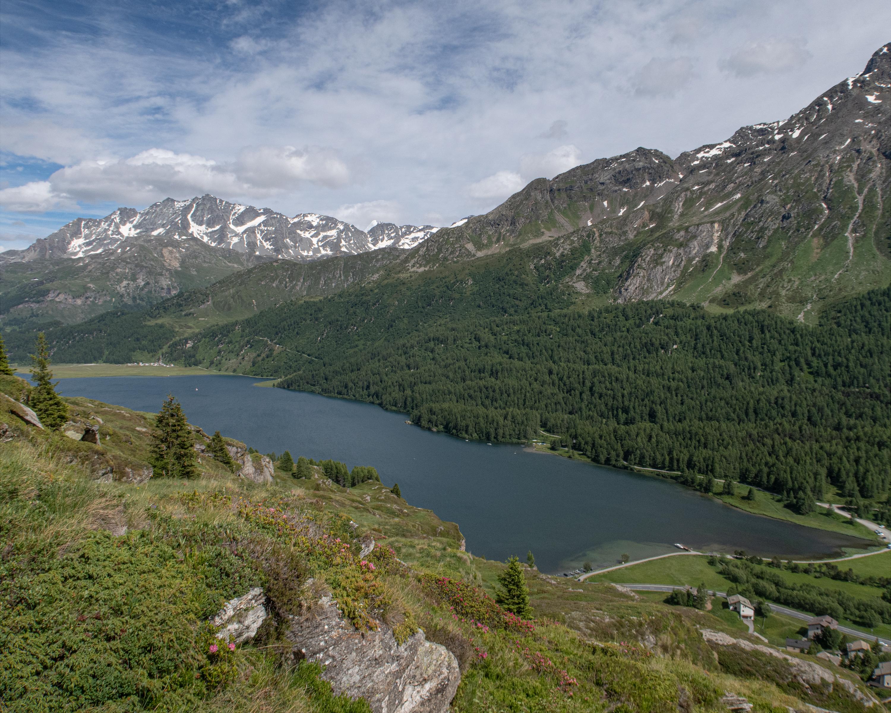
The first stage of the Via Engiadina route runs gently upwards and downwards along the hillside above Lake Sils and Lake Silvaplana. It leads past narrow mountain streams and huge rock formations, through flower meadows and old pine and larch forests, providing a superb view of the Upper Engadine.

Height profile

Weather:

Comments about this activity or place?

Thank you for your feedback!