search.ch

Via Engiadina

Regional route No. 87, Bever–Zuoz
  • Image 1

Description

Regional route
No. 87 (Bever–Zuoz)
Length
11 km
Ascent • Descent
↑ 580 m • ↓ 580 m
Lowest point • Highest point
1705 m • 1990 m
Hiking time
3 h 30 min
Grade
easy (hiking trail)
Fitness level
medium
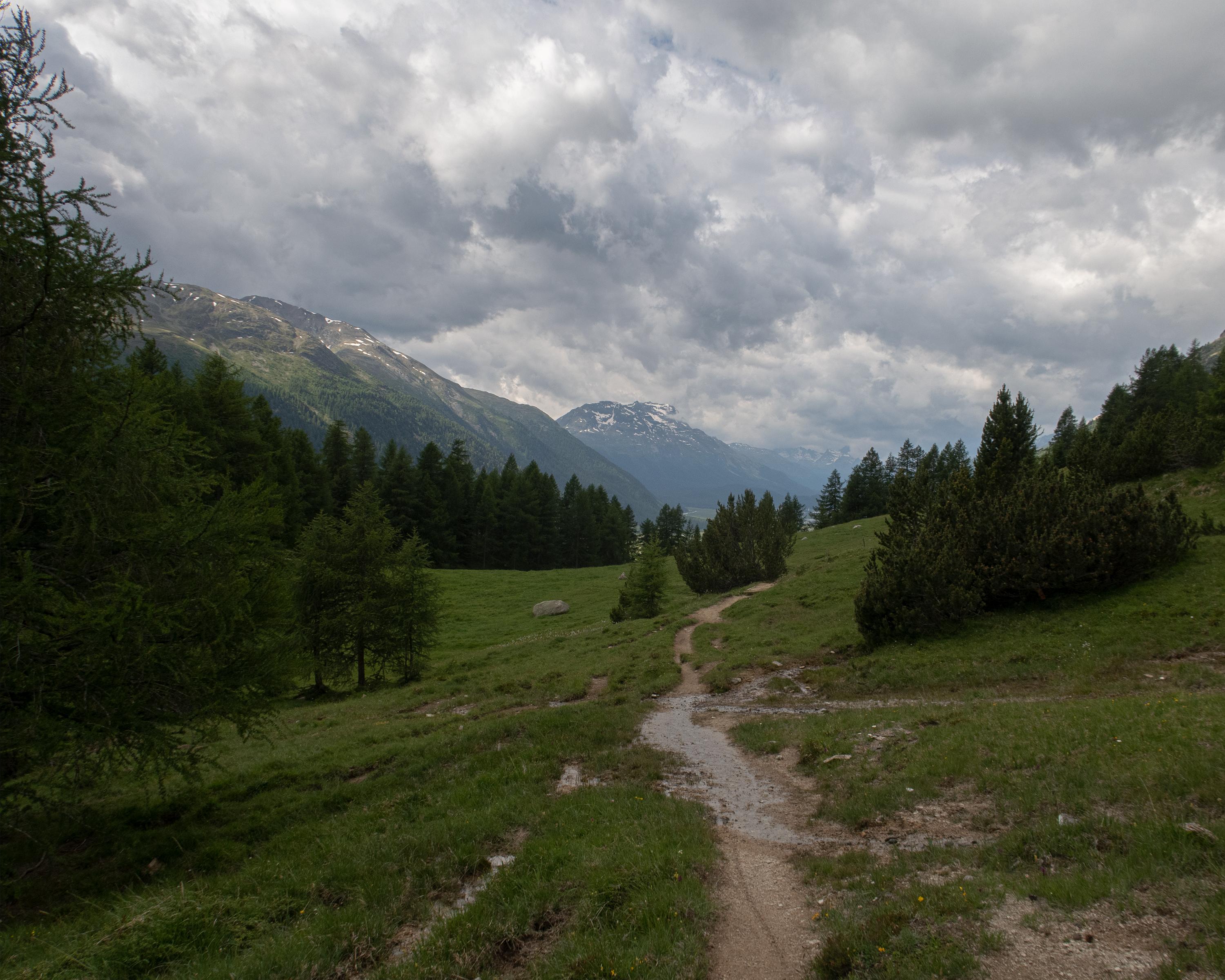
The trail runs along the south-eastern hillside and through fragrant forests, then past gnarled fir trees and bubbling mountain streams. Solid stone walls, round arches, characteristic oriels and mysterious alleyways can be explored in the Engadine villages. Enjoy the impressive view of the huge mountain ranges.

Height profile

Weather:

Comments about this activity or place?

Thank you for your feedback!