search.ch

ViaRhenana

Regional route No. 60, Schaffhausen–Rheinau
  • Image 1

Description

Regional route
No. 60 (Schaffhausen–Rheinau)
Length
14 km
Ascent • Descent
↑ 300 m • ↓ 320 m
Lowest point • Highest point
353 m • 409 m
Hiking time
3 h 50 min
Grade
easy (hiking trail)
Fitness level
medium
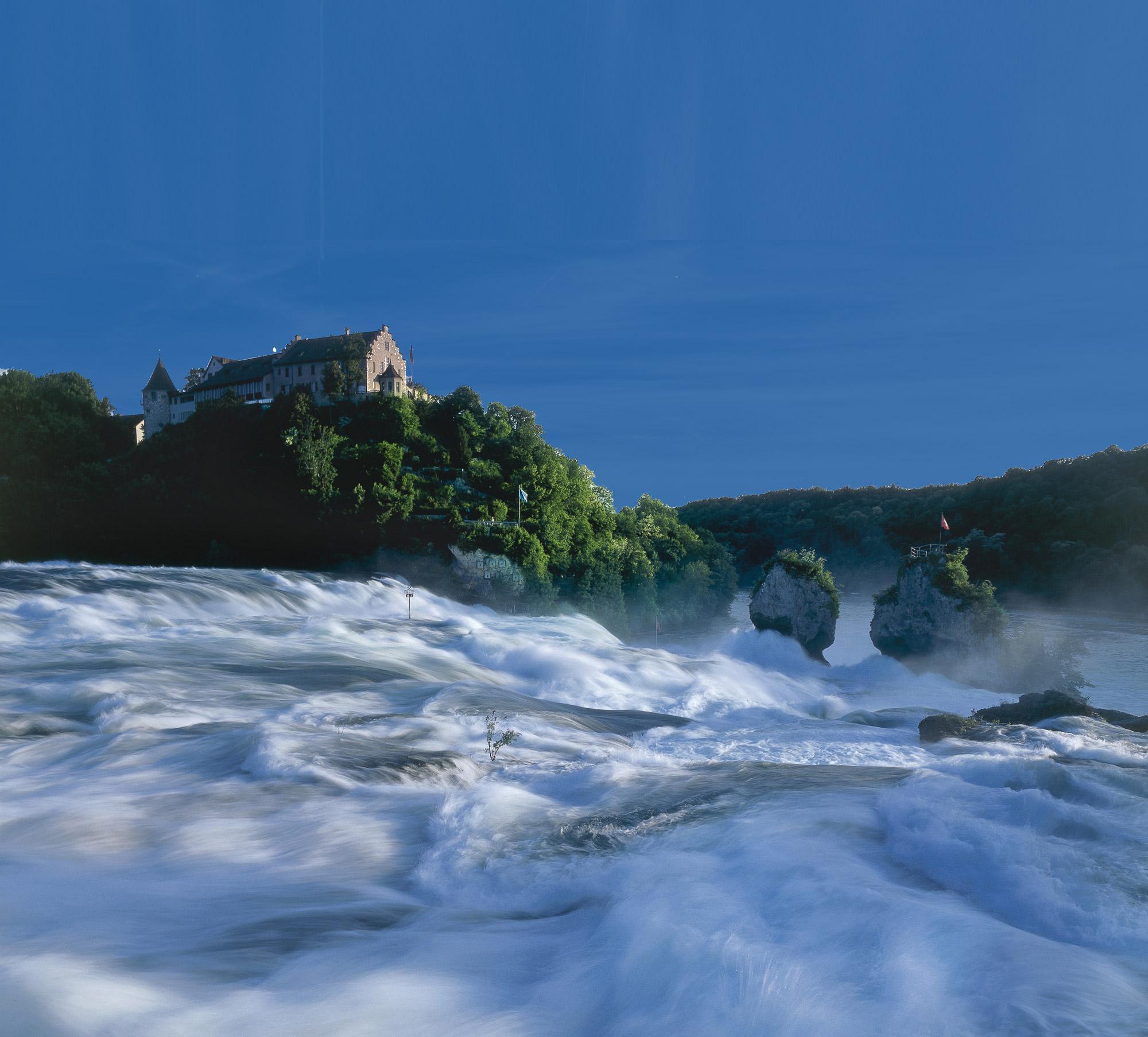
Along Feuerthalen Rhine promenade and the Flurlingen filigree Rhine bridge to the Rhine Falls with Laufen and Wörth castles, Rhine bridge of the «Rheinfallbahn» from 1857. Along idyllic footpaths to Rheinau with Klosterinsel, Bergkirche, covered wooden bridge.

Height profile

Weather:

Comments about this activity or place?

Thank you for your feedback!