DE
FR
IT
EN
Directory
Weather
Map / Route
Timetable
Leisure
TV guide
Cinema
Web search
Apps
More
Personal Data »
Login:
Register
Password forgotten
or
Log in with local.ch
Log in with Apple
Log in with Facebook
Log in with Google
Log in with LinkedIn
Please note that our new
privacy statement
as well as the revised
terms and conditions of use
apply.
Leisure
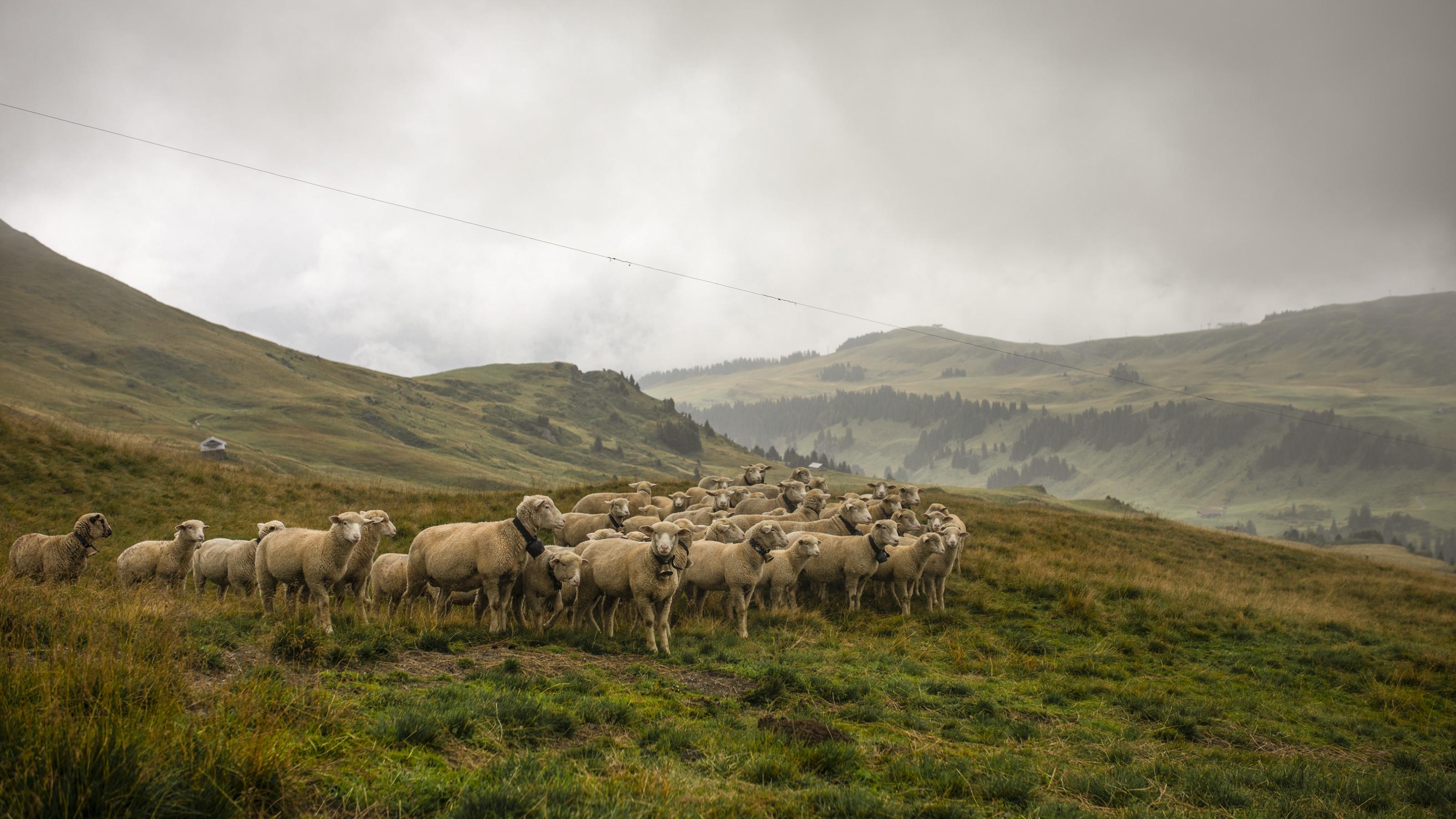
Activities in Bernese Oberland
Via Alpina
National route No. 1, Lenk–Gstaad
Description
National route
No. 1 (Lenk–Gstaad)
Length
22 km
Ascent • Descent
↑ 1150 m • ↓ 1200 m
Lowest point • Highest point
1050 m • 2061 m
Hiking time
7 h
Grade
medium (mountain hiking trail)
Fitness level
difficult
From Lenk via the Wallegggraben, up into lynx territory, through a damp, eroded limestone region with far-reaching views. Over the Trüttlisbergpass and through the long Turbachtal valley with its varied history down to the sophistication of Gstaad.
Comments on this information?
We welcome your feedback!
Presented by
Route
Height profile
Weather:
More...
Comments about this activity or place?
Incorrect information
Missing information
Another topic
Thank you for your feedback!
Close