search.ch

Clariden-Höhenweg

Local route No. 588, Klausenpass–Fisetenpass Bergstation
  • Image 1

Description

Local route
No. 588 (Klausenpass–Fisetenpass Bergstation)
Length
9 km
Ascent • Descent
↑ 580 m • ↓ 520 m
Lowest point • Highest point
1947 m • 2176 m
Hiking time
3 h 10 min
Grade
medium (mountain hiking trail)
Fitness level
medium
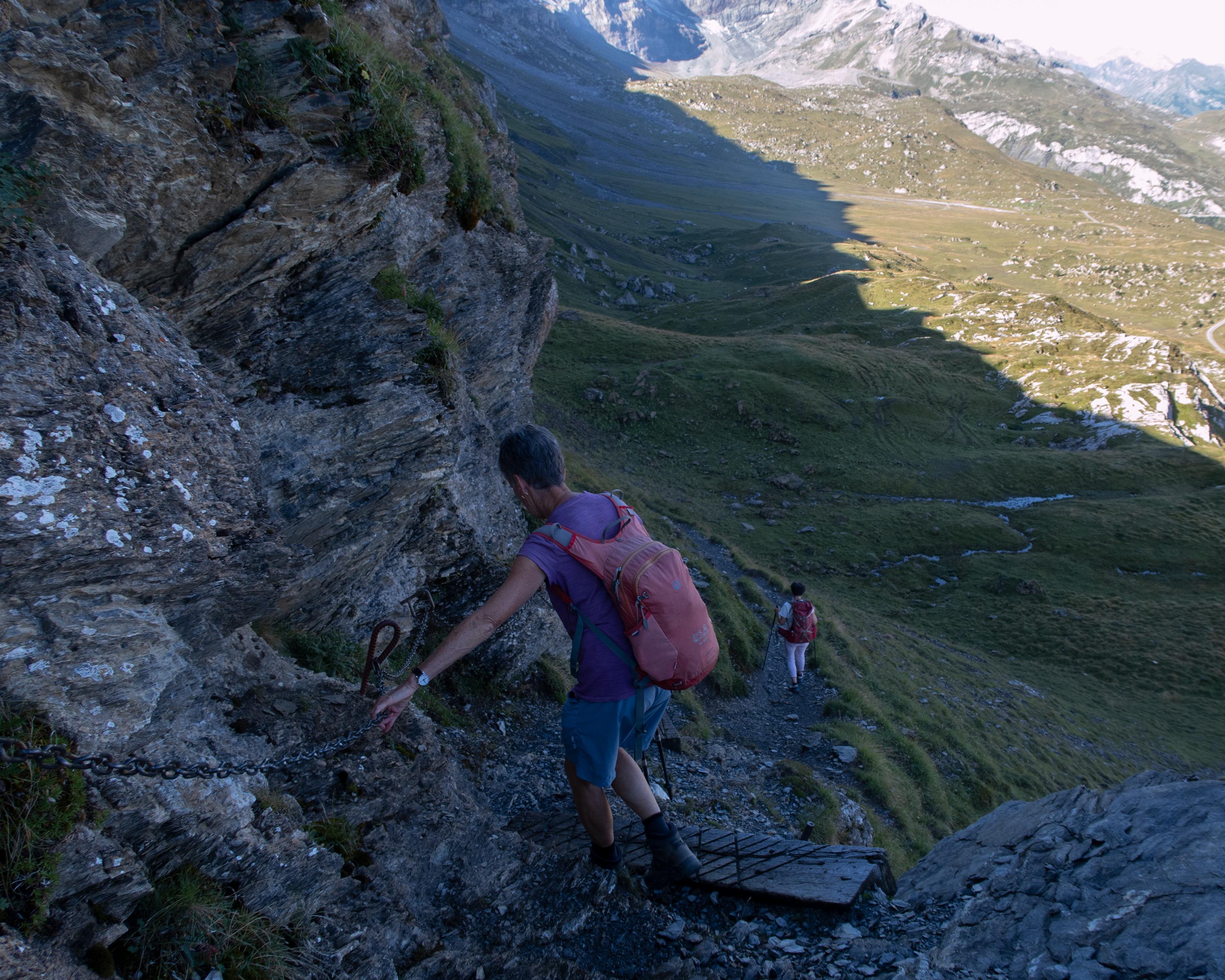
This hike is characterised by comfortable differences in altitude and offers a sweeping view of Switzerland's largest cow pasture, the Urnerboden. The route leads over scree-covered terrain. Along the way: the small glacier lake at the foot of the north face of the Clariden and the "Tyyfelsfriedhof" (devil’s cemetery) rock formation.

Booking Information

Height profile

Weather:

Comments about this activity or place?

Thank you for your feedback!