search.ch

Panorama Rundweg Thunersee

Regional route No. 26, Spiez–Thun
  • Image 1

Description

Regional route
No. 26 (Spiez–Thun)
Length
14 km
Ascent • Descent
↑ 340 m • ↓ 340 m
Lowest point • Highest point
558 m • 664 m
Hiking time
3 h 50 min
Grade
easy (hiking trail)
Fitness level
medium
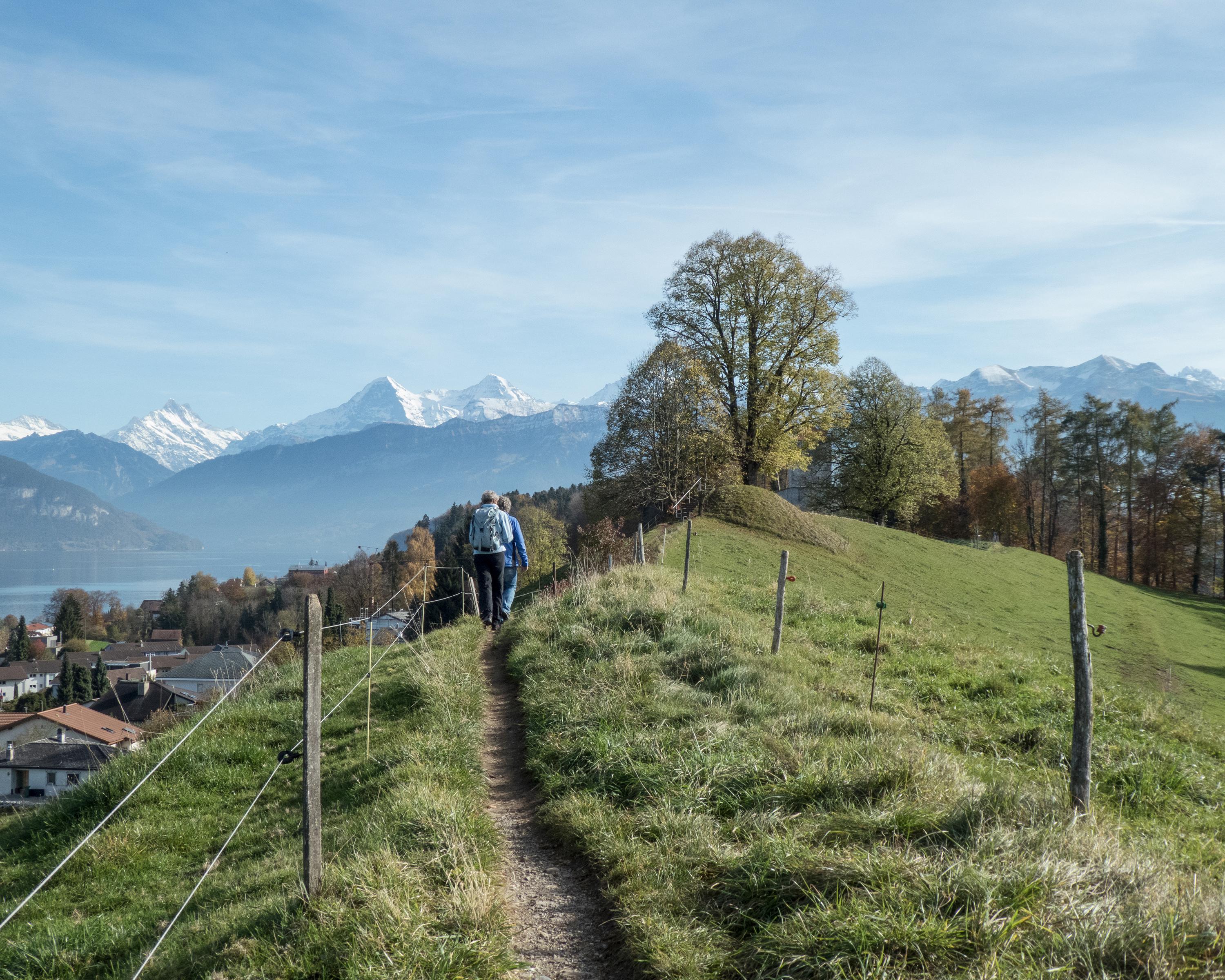
Crossing the Spiezberg hill and following the picturesque path alongside Lake Thun, this final stage takes you back to the town of the same name. A detour to the church at Einigen will tell you more about the over 1,300 years of cultural history associated with Lake Thun, before you arrive back in the town with its many restaurants waiting to serve you.

Height profile

Weather:

Comments about this activity or place?

Thank you for your feedback!