search.ch

ViaBerna

Regional route No. 38, Bellelay–Tramelan
  • Image 1

Description

Regional route
No. 38 (Bellelay–Tramelan)
Length
11 km
Ascent • Descent
↑ 340 m • ↓ 400 m
Lowest point • Highest point
887 m • 1184 m
Hiking time
3 h
Grade
easy (hiking trail)
Fitness level
medium
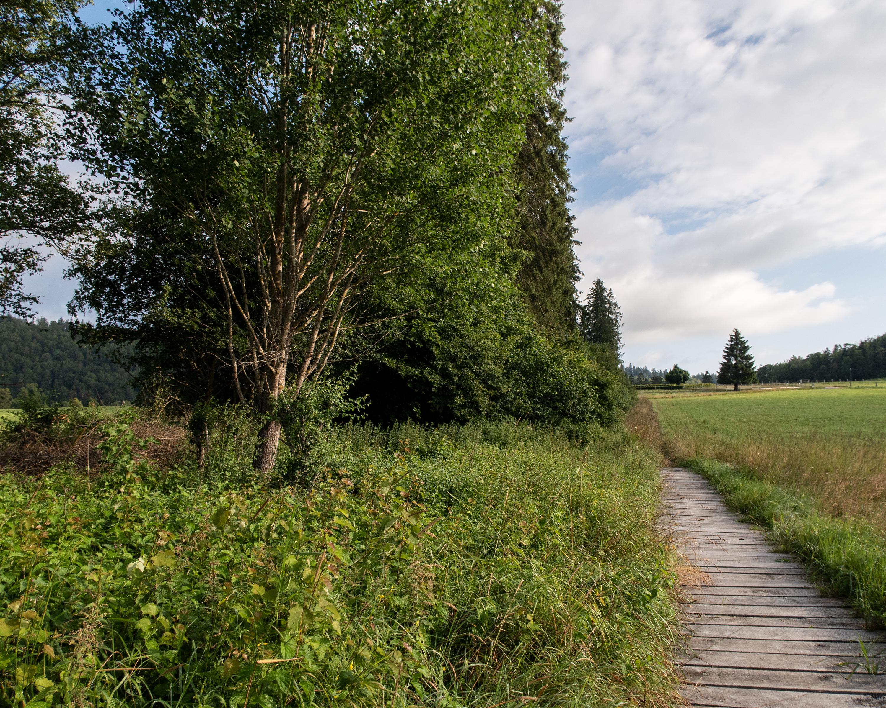
From Bellelay, this stage leads along the peat bog of La Sagne. Through forests and across pastures, it climbs up to the gentle Jura height, where you remain for a few kilometres. The path descends across open pastures to the destination for the first stage, the village of Tramelan.

Height profile

Weather:

Comments about this activity or place?

Thank you for your feedback!