search.ch

Aargauer Weg

Regional route No. 42, Aarau–Brugg
  • Image 1

Description

Regional route
No. 42 (Aarau–Brugg)
Length
22 km
Ascent • Descent
↑ 440 m • ↓ 480 m
Lowest point • Highest point
348 m • 570 m
Hiking time
5 h 45 min
Grade
easy (hiking trail)
Fitness level
difficult
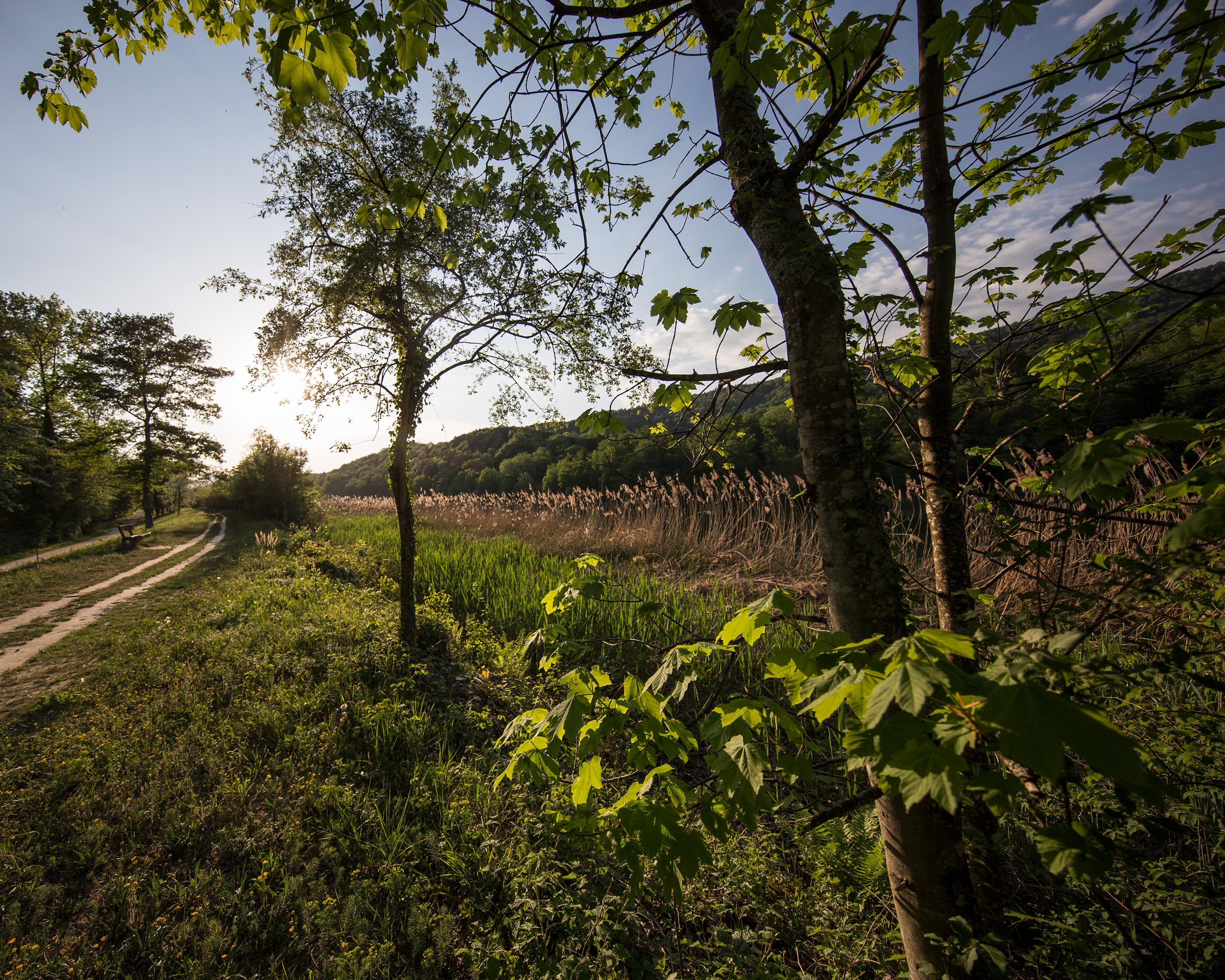
In the water meadow area the trail meanders pleasantly along the Aare, followed by the climb up to the splendid Wildegg Castle. Romantic stretches of forest lead on to the seat of the Habsburg family and finally to their memorial site, the Königsfelden Monastery.

Height profile

Weather:

Comments about this activity or place?

Thank you for your feedback!