DE
FR
IT
EN
Directory
Weather
Map / Route
Timetable
Leisure
TV guide
Cinema
Web search
Apps
More
Personal Data »
Login:
Register
Password forgotten
or
Log in with local.ch
Log in with Apple
Log in with Facebook
Log in with Google
Log in with LinkedIn
Please note that our new
privacy statement
as well as the revised
terms and conditions of use
apply.
Leisure
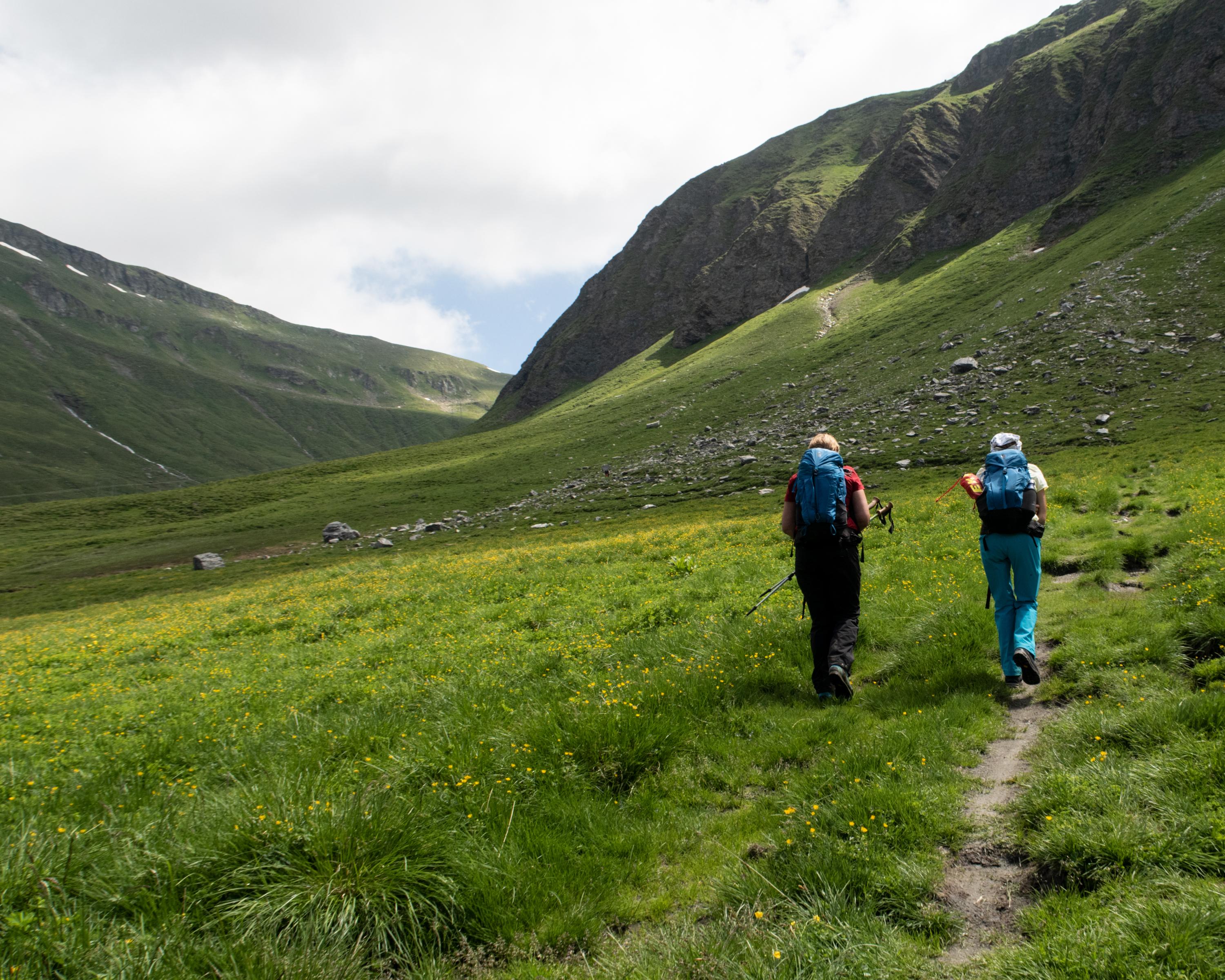
Hike
Walserweg
Regional route No. 35, Vals–Safien Turrahus
Description
Regional route
No. 35 (Vals–Safien Turrahus)
Length
13 km
Ascent • Descent
↑ 1200 m • ↓ 760 m
Lowest point • Highest point
1249 m • 2412 m
Hiking time
5 h 10 min
Grade
medium (mountain hiking trail)
Fitness level
difficult
Traditional and modern - wood and Valais quartzite shape the villagescape of Vals. View of the settlement of Leis below the Piz Aul. Lime kilns, turquoise pools at Alp Tomül. Views into the Safiental valley to Wisshorn and the Pizzas d'Anarosa.
Comments on this information?
We welcome your feedback!
Presented by
Route
Height profile
Weather:
More...
Comments about this activity or place?
Incorrect information
Missing information
Another topic
Thank you for your feedback!
Close