DE
FR
IT
EN
Directory
Weather
Map / Route
Timetable
Leisure
TV guide
Cinema
Web search
Apps
More
Personal Data »
Login:
Register
Password forgotten
or
Log in with local.ch
Log in with Apple
Log in with Facebook
Log in with Google
Log in with LinkedIn
Please note that our new
privacy statement
as well as the revised
terms and conditions of use
apply.
Leisure
Biking
Lakes Route
National route No. 9, Meiringen–Sarnen
Description
National route
No. 9 (Meiringen–Sarnen)
Length
32 km
Ascent • Descent
↑ 680 m • ↓ 800 m
Lowest point • Highest point
472 m • 1052 m
Fitness level
medium
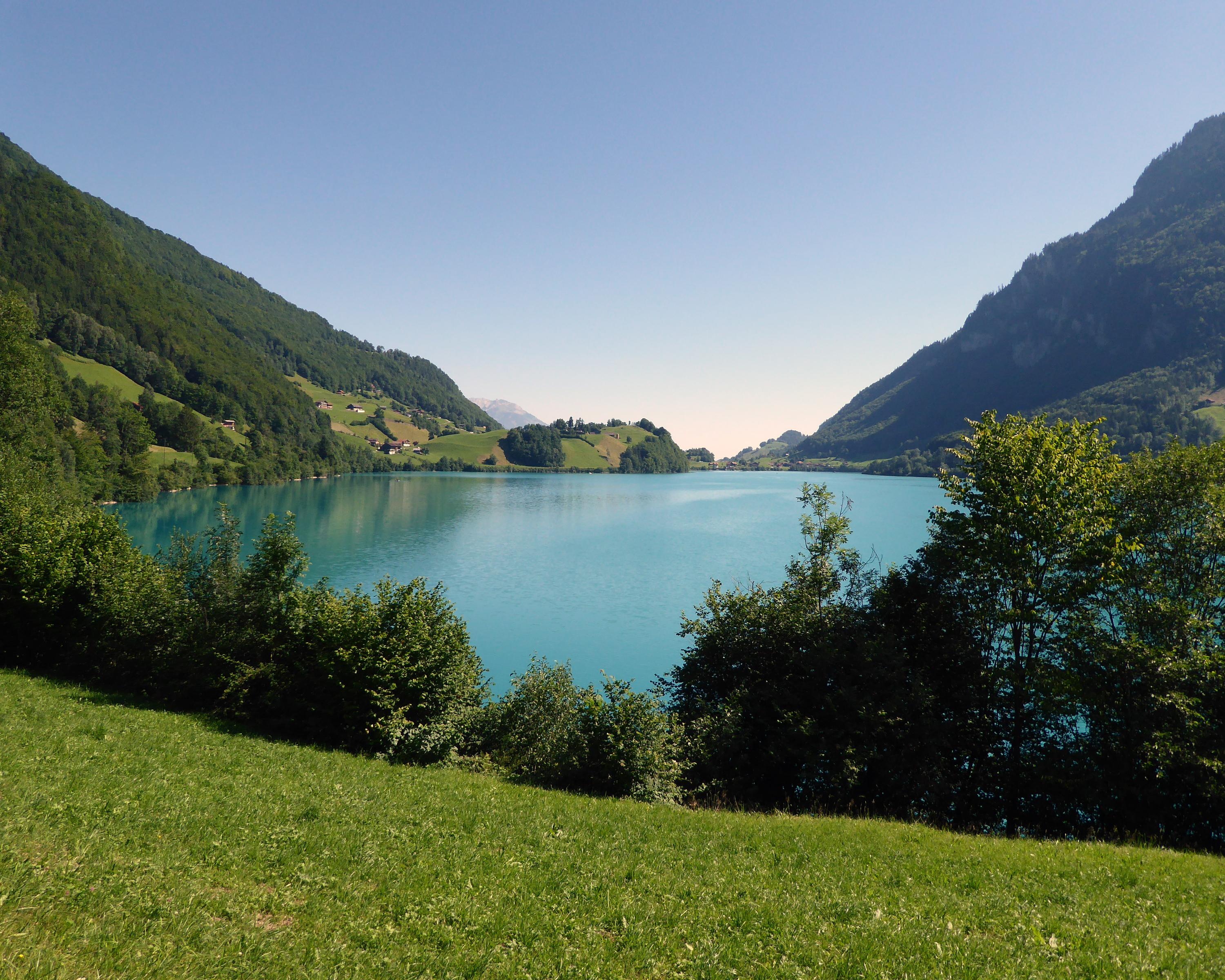
The Brünigpass separates the Bernese bear and the Innerschweiz, linked by pilgrim paths, railways and dialect. Obwalden: a tiny canton, a wide valley, a pre-Alpine landscape with scattered settlements, shallow lakes and long traditions.
Comments on this information?
We welcome your feedback!
Presented by
Route
Height profile
Weather:
More...
Comments about this activity or place?
Incorrect information
Missing information
Another topic
Thank you for your feedback!
Close