DE
FR
IT
EN
Directory
Weather
Map / Route
Timetable
Leisure
TV guide
Cinema
Web search
Apps
More
Personal Data »
Login:
Register
Password forgotten
or
Log in with local.ch
Log in with Apple
Log in with Facebook
Log in with Google
Log in with LinkedIn
Please note that our new
privacy statement
as well as the revised
terms and conditions of use
apply.
Leisure
Hike
Trans Swiss Trail
National route No. 2, Soubey–Saignelégier
Description
National route
No. 2 (Soubey–Saignelégier)
Length
12 km
Ascent • Descent
↑ 800 m • ↓ 280 m
Lowest point • Highest point
474 m • 1071 m
Hiking time
4 h
Grade
easy (hiking trail)
Fitness level
medium
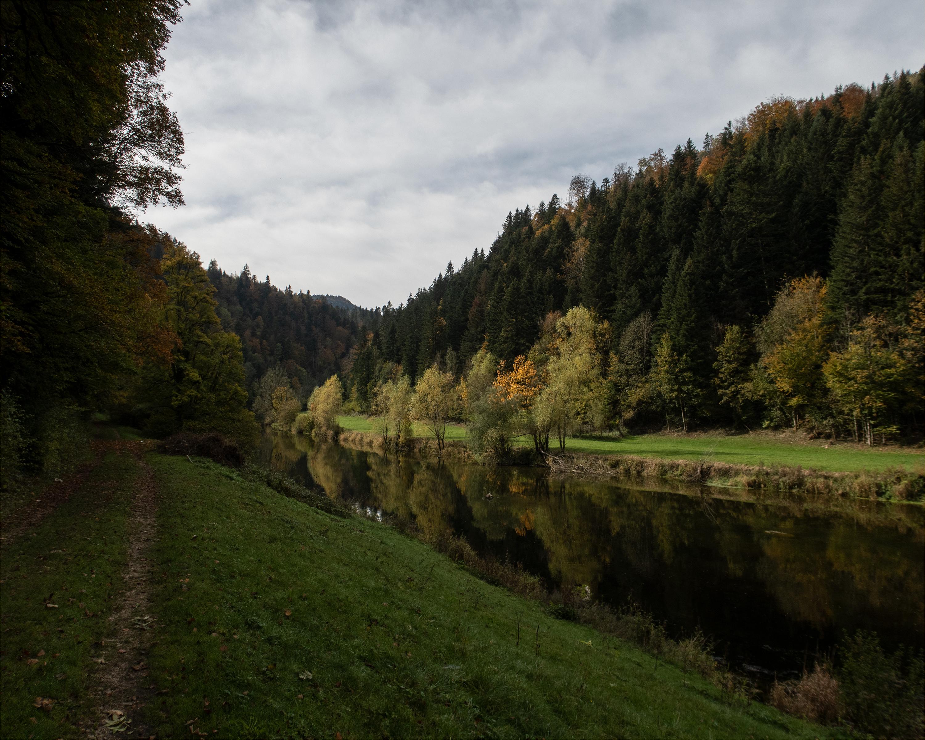
A climb to the high plateau of the Franches Montagnes and peaceful countryside. Dark forests and scattered farmsteads surrounded by horses, cattle and sheep. In between, villages with mustard-coloured houses. Saigneléger is the regional centre.
Comments on this information?
We welcome your feedback!
Presented by
Route
Height profile
Weather:
More...
Comments about this activity or place?
Incorrect information
Missing information
Another topic
Thank you for your feedback!
Close