DE
FR
IT
EN
Directory
Weather
Map / Route
Timetable
Leisure
TV guide
Cinema
Snow
Web search
Apps
More
Personal Data »
Login:
Register
Password forgotten
or
Log in with local.ch
Log in with Apple
Log in with Facebook
Log in with Google
Log in with LinkedIn
Please note that our new
privacy statement
as well as the revised
terms and conditions of use
apply.
Leisure
Activities in Ticino
Lugano Bike
Regional route No. 66, Lugano – Ponte Tresa
Description
Regional route
No. 66 (Lugano – Ponte Tresa)
Length
120 km
Ascent • Descent
↑ 4500 m • ↓ 6000 m
Lowest point • Highest point
250 m • 1894 m
Grade
difficult
Fitness level
medium
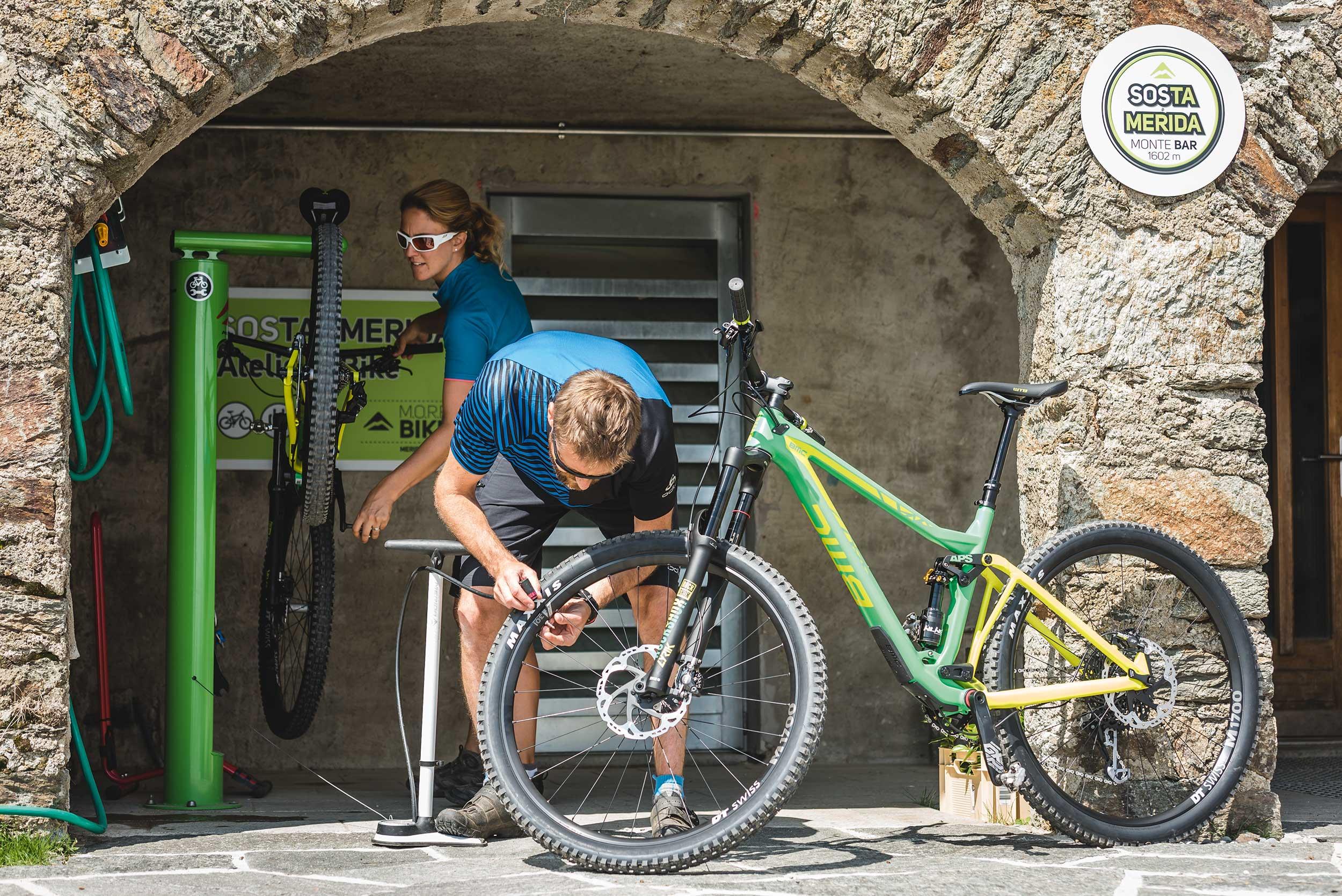
Regional route No. 66: Lugano Bike
Stages
0. Lugano (Monte Brè) – Pairolo
0. Pairolo – Rivera
0. Miglieglia – Ponte Tresa
0. Rivera – Miglieglia
One of the most attractive trails in the Ticino winds its way as a high trail around the Val Colla above Lugano. It leads to the imposing Monte Tamaro and through the hilly forest of Malcantone. A fantastic tour with spectacular panoramic views.
Comments on this information?
We welcome your feedback!
Presented by
Route
Height profile
Weather:
More...
Comments about this activity or place?
Incorrect information
Missing information
Another topic
Thank you for your feedback!
Close