search.ch

Jakobsweg Graubünden

Regional route No. 43, Trun–Disentis
  • Image 1

Description

Regional route
No. 43 (Trun–Disentis)
Length
13 km
Ascent • Descent
↑ 580 m • ↓ 320 m
Lowest point • Highest point
854 m • 1158 m
Hiking time
3 h 35 min
Grade
medium (mountain hiking trail)
Fitness level
medium
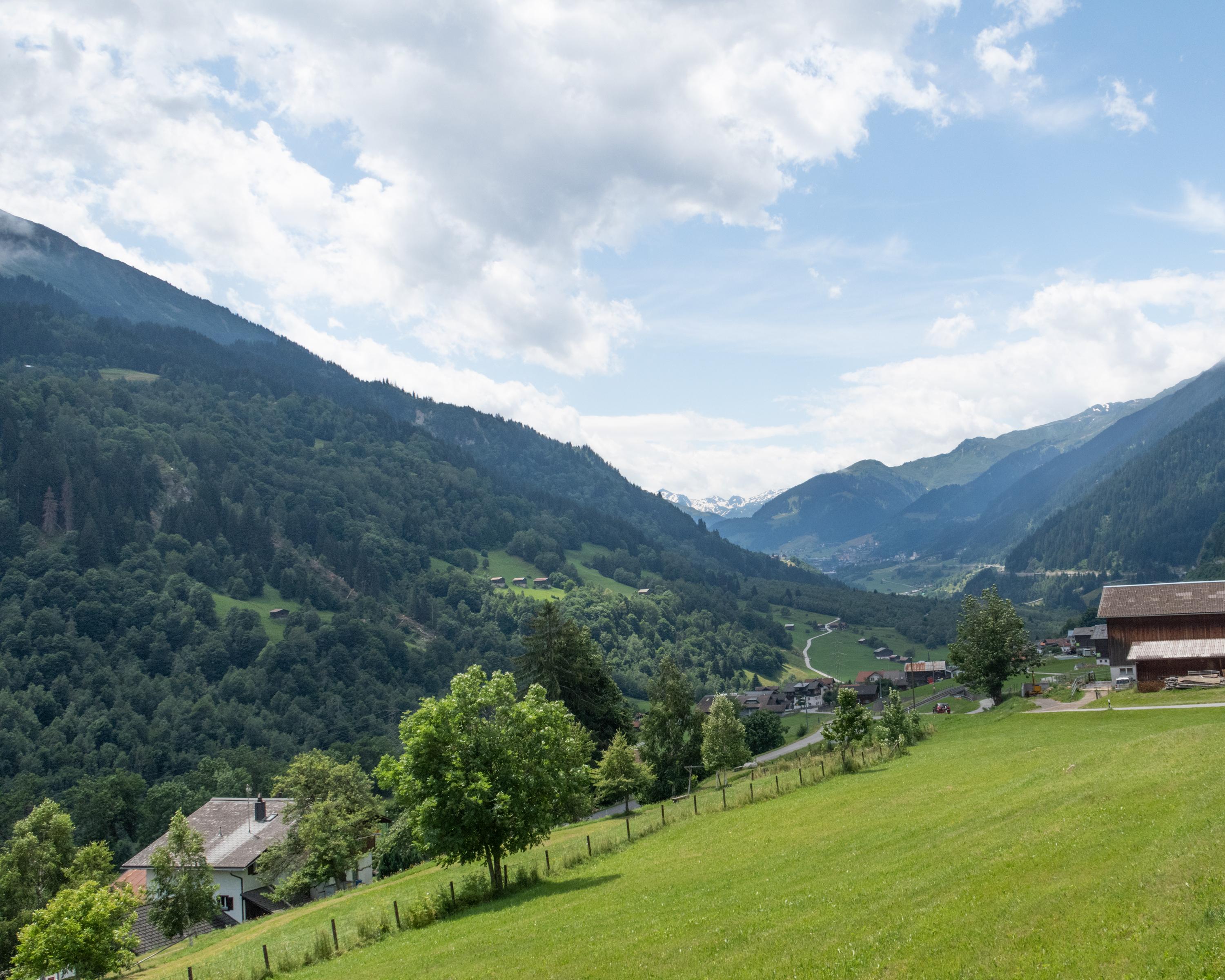
The last stage of the Grisons Way of St. James leads through the dreamy villages of the Surselva along the Vorderrhein, which winds through the valley in countless loops. Densely wooded meadows and historic churches and decorated town houses line the route to Disentis.

Height profile

Weather:

Comments about this activity or place?

Thank you for your feedback!