search.ch

Walserweg

Regional route No. 35, Hinterrhein–Vals
  • Image 1

Description

Regional route
No. 35 (Hinterrhein–Vals)
Length
15 km
Ascent • Descent
↑ 1000 m • ↓ 1350 m
Lowest point • Highest point
1249 m • 2504 m
Hiking time
5 h 40 min
Grade
medium (mountain hiking trail)
Fitness level
difficult
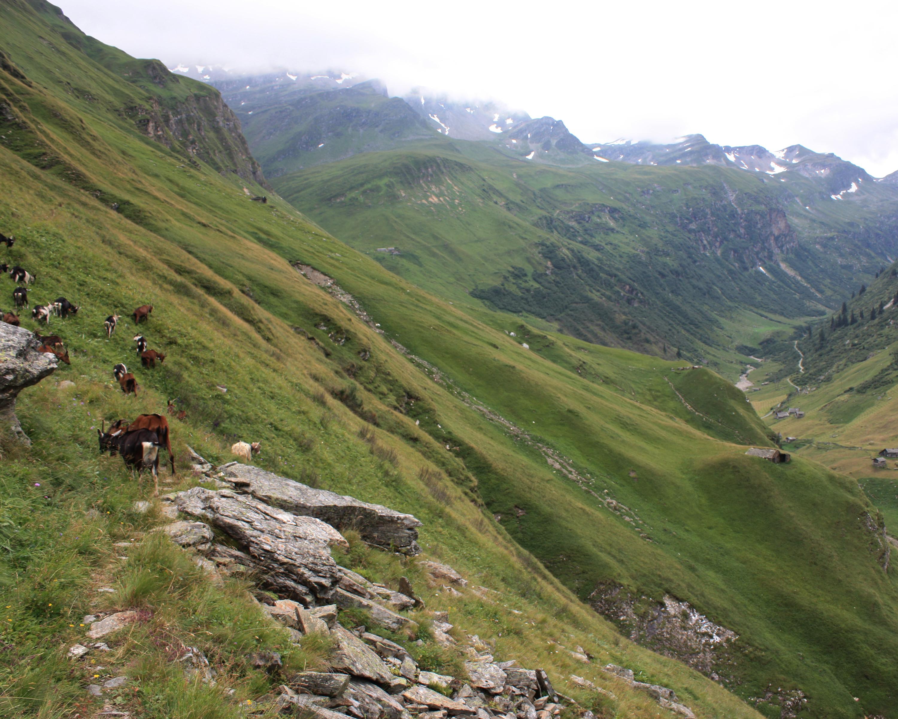
Historic Walser trail via Alp Piänetsch on Valserberg. Across mountain pastures to farmsteads, once inhabited all year round, in Peiltal: Wallatsch, Tschifera, Uf der Matta and Abersch Hus. Views of the quartzite stone roofs of Vals. Relaxation in the Vals thermal spa.

Height profile

Weather:

Comments about this activity or place?

Thank you for your feedback!