search.ch

Vier-Quellen-Weg

Regional route No. 49, Andermatt, Oberalppass–Vermigelhütte
  • Image 1

Description

Regional route
No. 49 (Andermatt, Oberalppass–Vermigelhütte)
Length
13 km
Ascent • Descent
↑ 820 m • ↓ 800 m
Lowest point • Highest point
1976 m • 2422 m
Hiking time
4 h 35 min
Grade
medium (mountain hiking trail)
Fitness level
medium
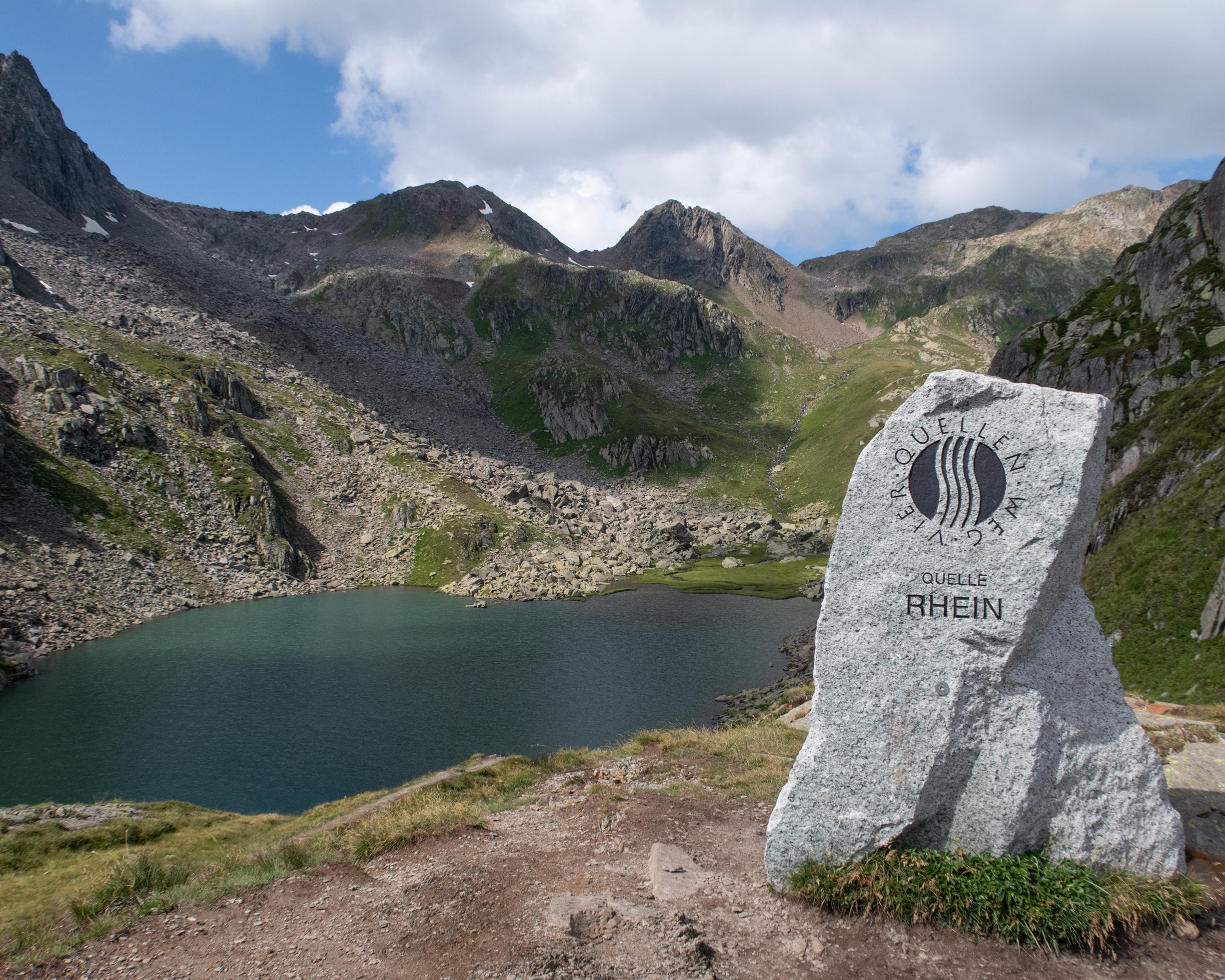
At over 2,000 metres above sea level, this hike leads across lush, scree-strewn meadows between massive slanting rock faces. Gentian, alpine roses and white cotton grass thrive around the high-moor lakes. One can cross the Rhine with three steps at its source; its water is even drinkable here.

Height profile

Weather:

Comments about this activity or place?

Thank you for your feedback!