search.ch

Via Alpina, Stage 9/20

National route No. 1, Stage 9: Engstlenalp – Meiringen
  • Image 1

Description

National route
No. 1 (Vaduz – Montreux)
Length
22 km
Ascent • Descent
↑ 740 m • ↓ 1950 m
Lowest point • Highest point
598 m • 2245 m
Hiking time
7 h
Grade
medium
Fitness level
difficult
National route No. 1: Via Alpina
Stages
1. Vaduz (Gaflei, FL) – Sargans
2. Sargans – Weisstannen
3. Weisstannen – Elm
4. Elm – Linthal
5. Linthal – Urner Boden
6. Urner Boden – Altdorf (UR)
7. Altdorf (UR) – Engelberg
8. Engelberg – Engstlenalp
9. Engstlenalp – Meiringen
10. Meiringen – Grindelwald
11. Grindelwald – Lauterbrunnen
12. Lauterbrunnen – Griesalp
13. Griesalp – Kandersteg
14. Kandersteg – Adelboden
15. Adelboden – Lenk
16. Lenk – Gstaad
17. Gstaad – L'Etivaz
18. L'Etivaz – Rossinière
19. Rossinière – Rochers de Naye
20. Rochers de Naye – Montreux
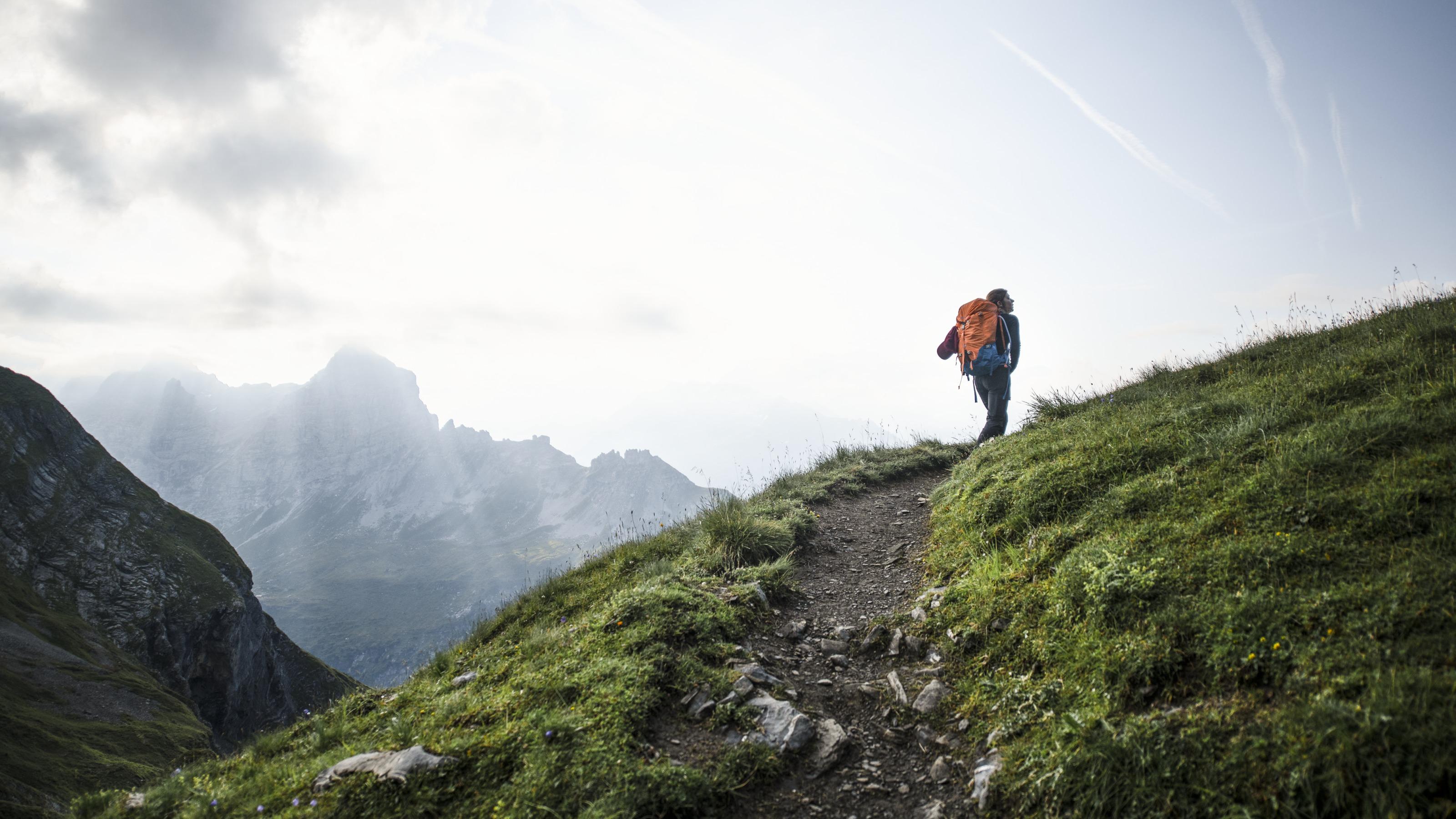
Through Alpine flora to Tannalp with dairy, inn and lake. The ridge hike over Balmeregghorn, with wonderful views of the Eiger, Mönch & Jungfrau is truly impressive. Muggenstutz the dwarf and a sculpture garden promise variety on the way to Meiringen.

Height profile

Weather:

Comments about this activity or place?

Thank you for your feedback!