Local route No. 574, Melchsee-Frutt–Engelberg (Trübsee)
Description
Local route
No. 574 (Melchsee-Frutt–Engelberg (Trübsee))
Length
15 km
Ascent • Descent
↑ 620 m • ↓ 760 m
Lowest point • Highest point
1764 m • 2210 m
Hiking time
4 h 35 min
Grade
medium (mountain hiking trail)
Fitness level
medium
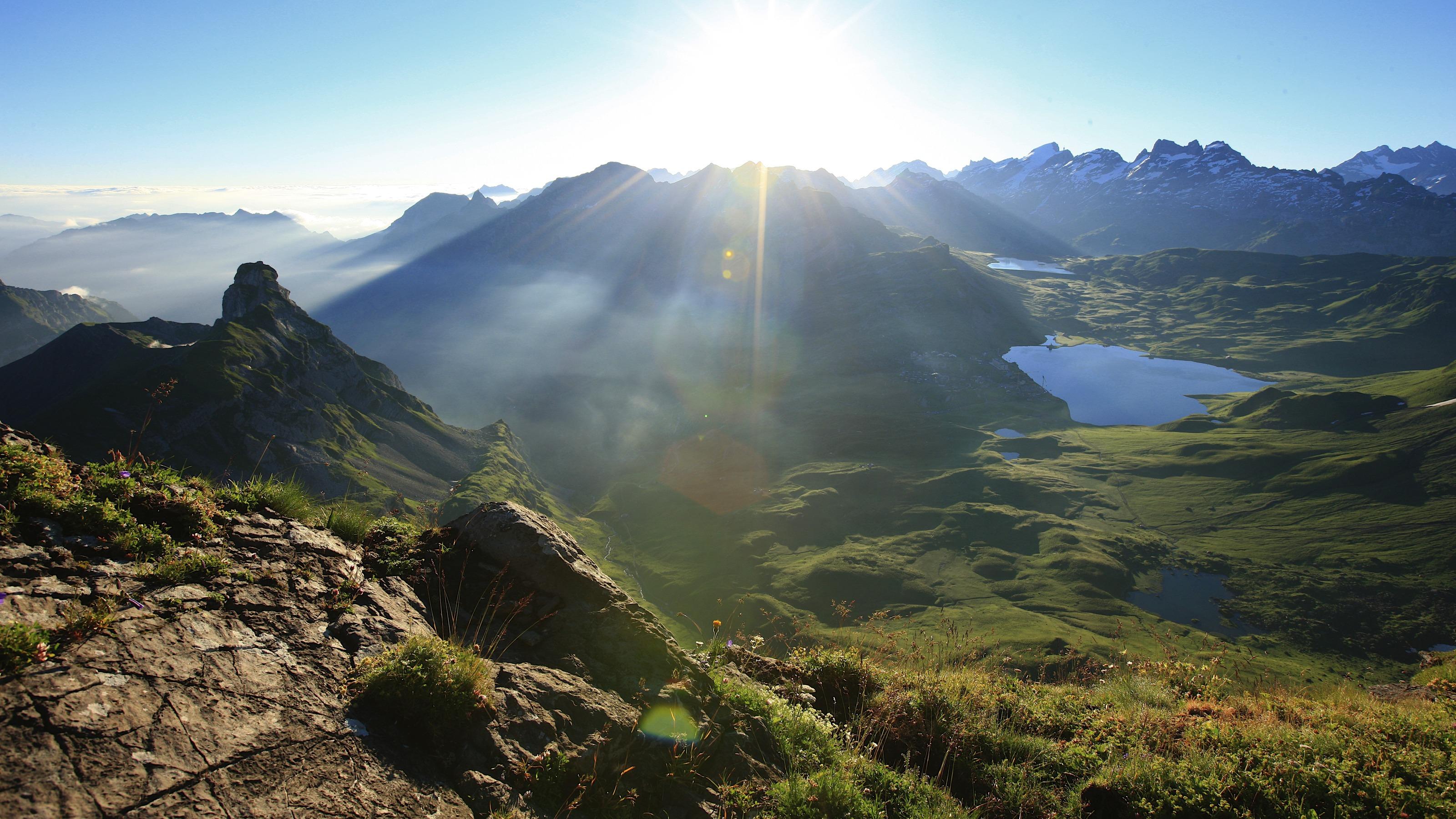
Fabulous mountain scenery around mighty Mount Titlis, unique flora, the crystal-clear waters of Lakes Melch, Tannen, Engstlen and Trüb – this route linking Melchsee-Frutt and Engelberg is justly rated as one of the classic high-altitude hikes.