DE
FR
IT
EN
Directory
Weather
Map / Route
Timetable
Leisure
TV guide
Cinema
Web search
Apps
More
Personal Data »
Login:
Register
Password forgotten
or
Log in with local.ch
Log in with Apple
Log in with Facebook
Log in with Google
Log in with LinkedIn
Please note that our new
privacy statement
as well as the revised
terms and conditions of use
apply.
Leisure
Hike
Tour des Alpes Vaudoises
Regional route No. 46, L’Etivaz–Les Diablerets
Description
Regional route
No. 46 (L’Etivaz–Les Diablerets)
Length
22 km
Ascent • Descent
↑ 1250 m • ↓ 1250 m
Lowest point • Highest point
1139 m • 1918 m
Hiking time
7 h 20 min
Grade
medium (mountain hiking trail)
Fitness level
difficult
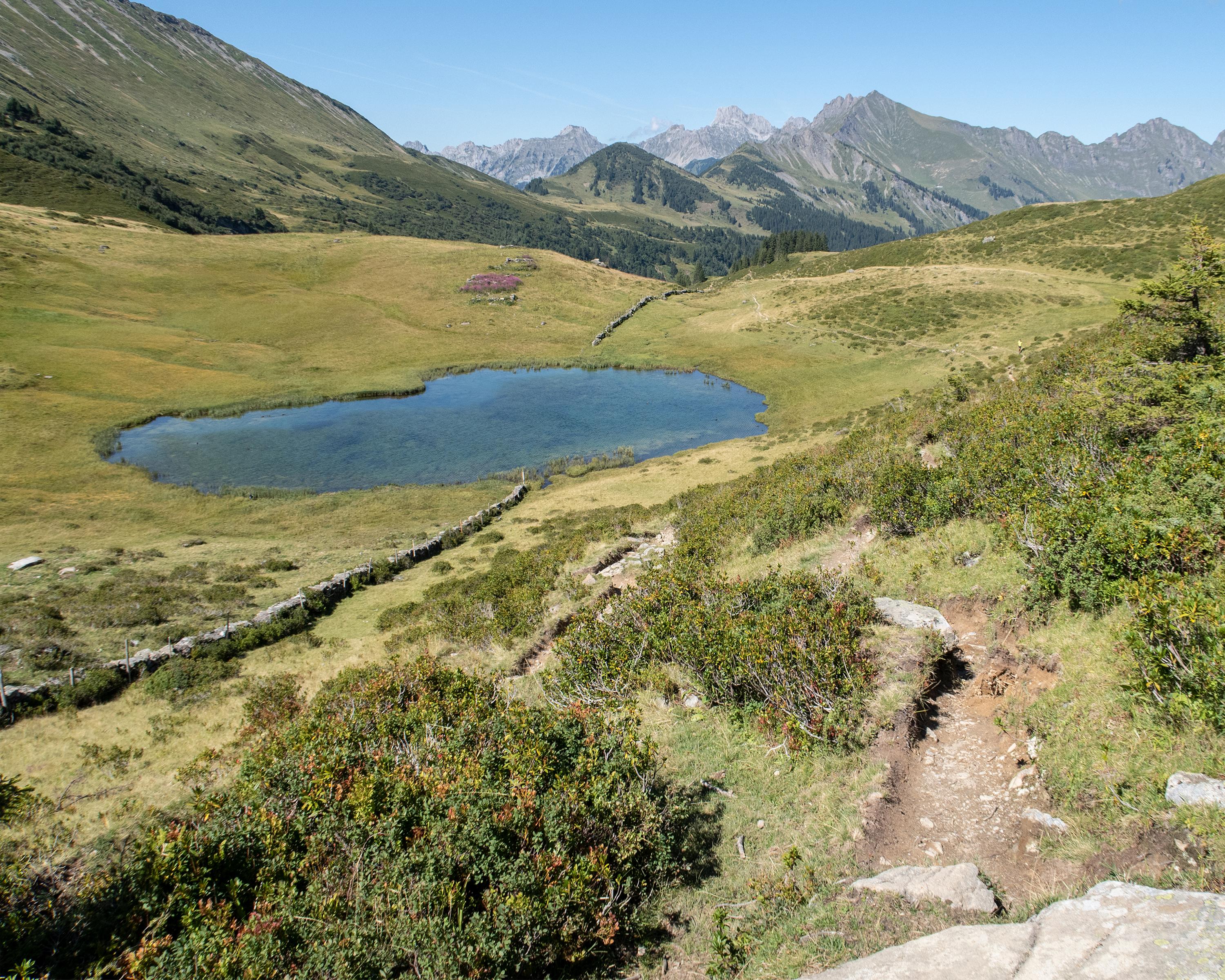
The route climbs gently, touching on the Canton Bern region. Views sweep to Scex Rouge and the Diablerets Glacier. The language border is passed on the Col de Voré, where a small stone wall also marks the spot.
Comments on this information?
We welcome your feedback!
Presented by
Route
Height profile
Weather:
More...
Comments about this activity or place?
Incorrect information
Missing information
Another topic
Thank you for your feedback!
Close