DE
FR
IT
EN
Directory
Weather
Map / Route
Timetable
Leisure
TV guide
Cinema
Web search
Apps
More
Personal Data »
Login:
Register
Password forgotten
or
Log in with local.ch
Log in with Apple
Log in with Facebook
Log in with Google
Log in with LinkedIn
Please note that our new
privacy statement
as well as the revised
terms and conditions of use
apply.
Leisure
Hike
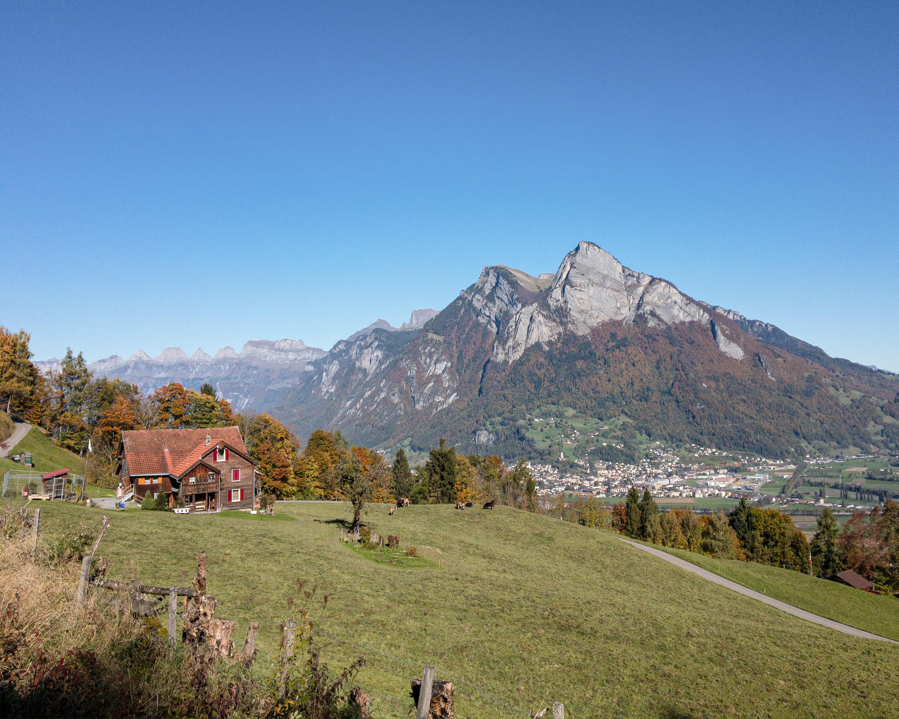
WALSA-Weg
Regional route No. 68, Bad Ragaz–Amden
Description
Regional route
No. 68 (Bad Ragaz–Amden)
Length
53 km
Ascent • Descent
↑ 2800 m • ↓ 2300 m
Lowest point • Highest point
419 m • 1228 m
Grade
easy (hiking trail)
Fitness level
medium
Splendid views of the ruggedness of the Hinterberg, protected moorland at Chapfensee, the sparse and arid Kleinberg, touristic Flumserberg, Mediterranean Quinten, power and peace in the hotspot of Amden.
Comments on this information?
We welcome your feedback!
Presented by
Route
Height profile
Weather:
More...
Comments about this activity or place?
Incorrect information
Missing information
Another topic
Thank you for your feedback!
Close