DE
FR
IT
EN
Directory
Weather
Map / Route
Timetable
Leisure
TV guide
Cinema
Web search
Apps
More
Personal Data »
Login:
Register
Password forgotten
or
Log in with local.ch
Log in with Apple
Log in with Facebook
Log in with Google
Log in with LinkedIn
Please note that our new
privacy statement
as well as the revised
terms and conditions of use
apply.
Leisure
Hike
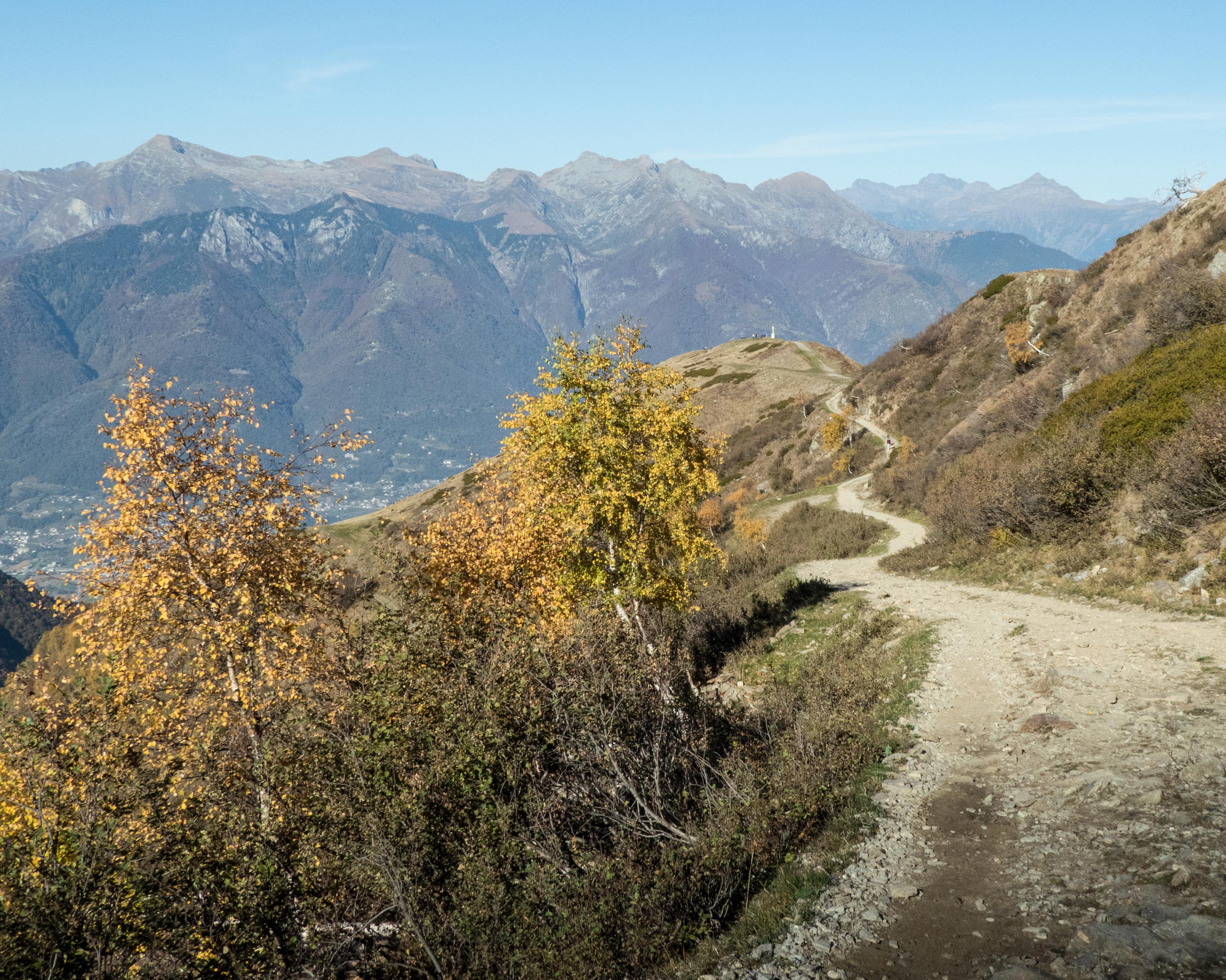
Sentiero Lago di Lugano
Regional route No. 52, Cap. Tamaro–Medeglia
Description
Regional route
No. 52 (Cap. Tamaro–Medeglia)
Length
21 km
Ascent • Descent
↑ 900 m • ↓ 2100 m
Lowest point • Highest point
468 m • 1851 m
Hiking time
7 h
Grade
medium (mountain hiking trail)
Fitness level
difficult
In contrast to the well-viewed Botta church at Alpe Foppa, below the Monte Tamaro, the Monti di Medeglia - unknown and an insiders’ tip. Nowhere else will you get such direct views into south and north Ticino.
Comments on this information?
We welcome your feedback!
Presented by
Route
Height profile
Weather:
More...
Comments about this activity or place?
Incorrect information
Missing information
Another topic
Thank you for your feedback!
Close