search.ch

Gürbe–Sense

Regional route No. 74, Thun (Amsoldingen)–Kerzers (Golaten)
  • Image 1

Description

Regional route
No. 74 (Thun (Amsoldingen)–Kerzers (Golaten))
Length
73 km
Ascent • Descent
↑ 600 m • ↓ 720 m
Lowest point • Highest point
470 m • 691 m
Fitness level
easy
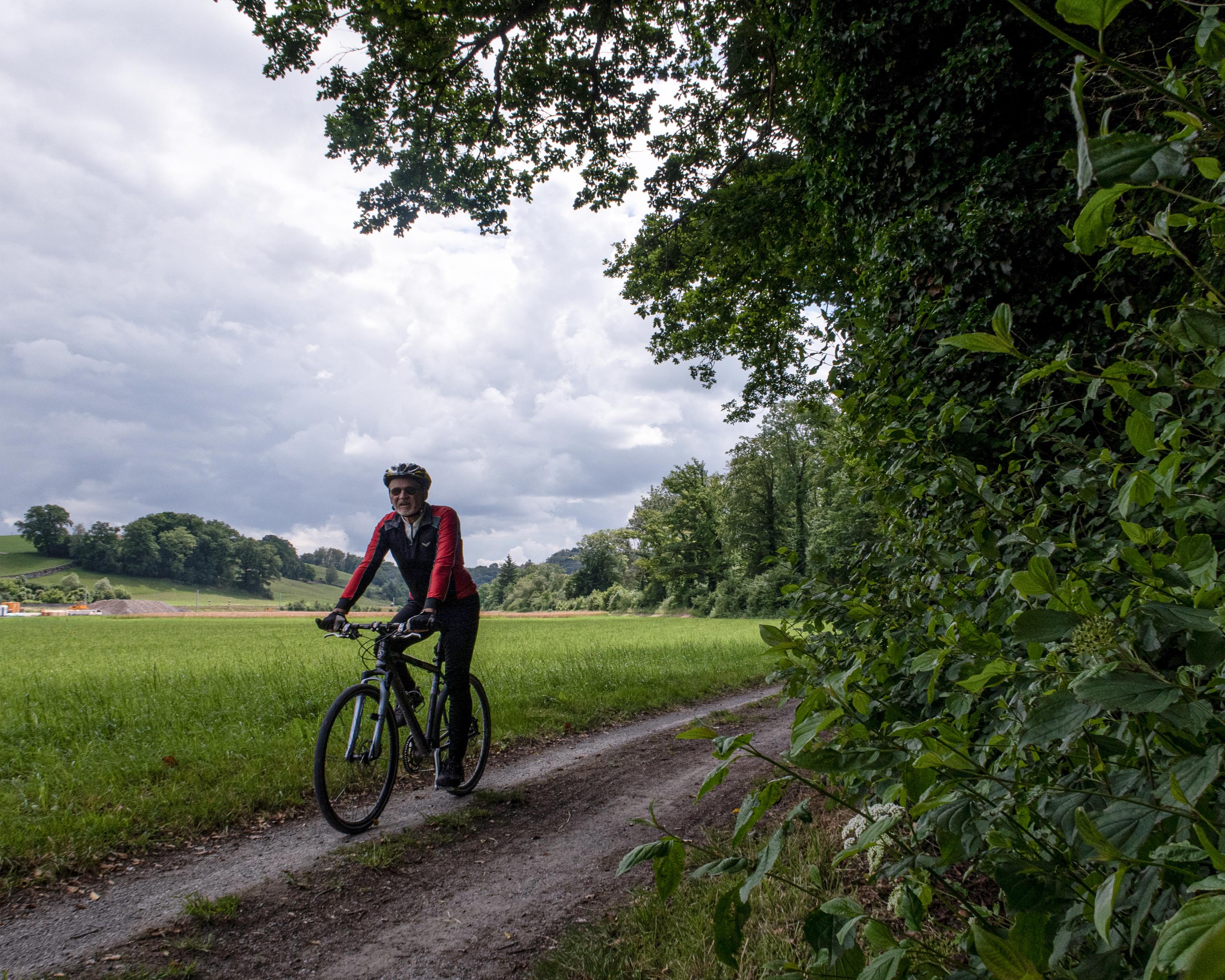
An easy ride through the wide, flat Gürbe Valley. Passing by the airport, the route runs straight through Bern's Old Town. It leads from the industrial Wangen Valley to the Sense, then follows the river to Laupen with its veranda houses before reaching Golaten via the Biberen plateau.

Height profile

Weather:

Comments about this activity or place?

Thank you for your feedback!