search.ch

Schwyzer Höhenweg

Regional route No. 63, Goldau–Sattel
  • Image 1

Description

Regional route
No. 63 (Goldau–Sattel)
Length
14 km
Ascent • Descent
↑ 1200 m • ↓ 950 m
Lowest point • Highest point
504 m • 1569 m
Hiking time
5 h 35 min
Grade
medium (mountain hiking trail)
Fitness level
difficult
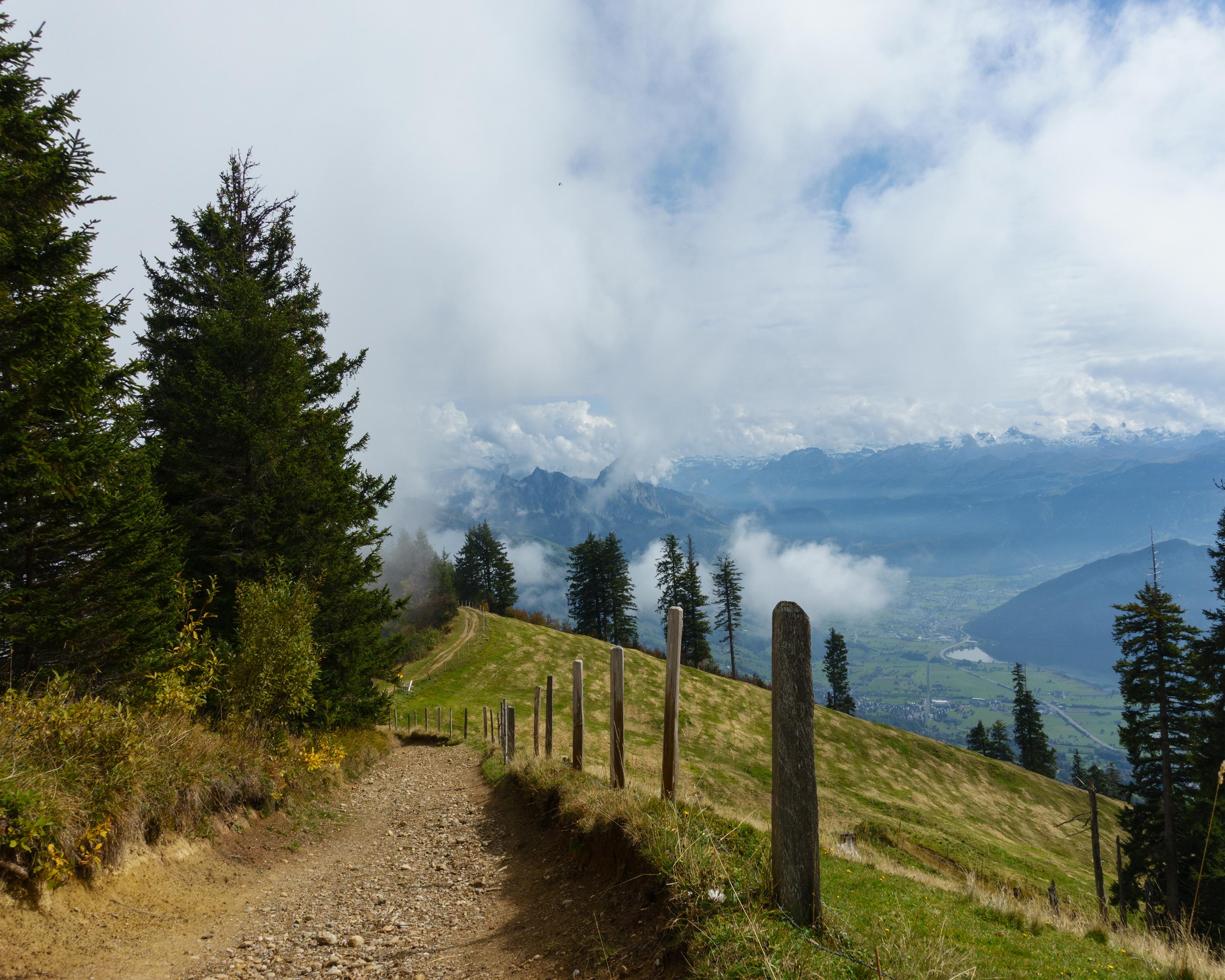
The hike follows the mountain ridge, offering spectacular far-reaching views over central Switzerland's lakes and mountain ranges. Above Goldau, numerous cherry trees are in full bloom in the springtime. From the Gnipen, the rocky landslide area, home of the Goldau Wildlife Park, catches the eye.

Height profile

Weather:

Comments about this activity or place?

Thank you for your feedback!