DE
FR
IT
EN
Directory
Weather
Map / Route
Timetable
Leisure
TV guide
Cinema
Web search
Apps
More
Personal Data »
Login:
Register
Password forgotten
or
Log in with local.ch
Log in with Apple
Log in with Facebook
Log in with Google
Log in with LinkedIn
Please note that our new
privacy statement
as well as the revised
terms and conditions of use
apply.
Leisure
Activities
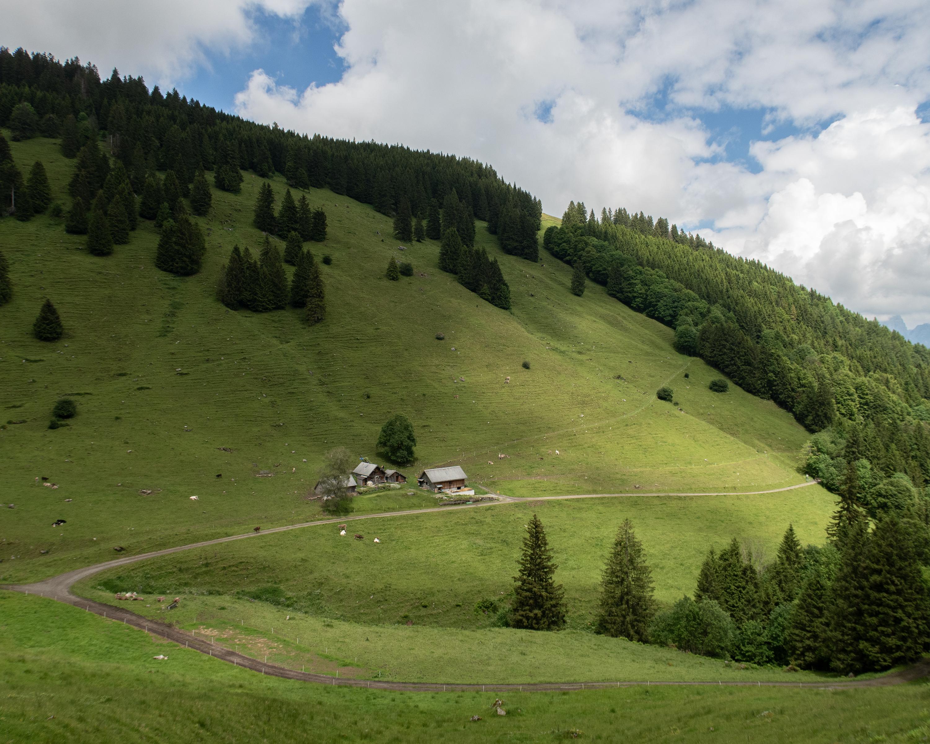
Rheintaler Höhenweg
Regional route No. 86, Wildhaus–Malbun (SG)
Description
Regional route
No. 86 (Wildhaus–Malbun (SG))
Length
15 km
Ascent • Descent
↑ 950 m • ↓ 660 m
Lowest point • Highest point
1015 m • 1441 m
Hiking time
5 h
Grade
easy (hiking trail)
Fitness level
difficult
Beneath the eastern Churfirst peaks, the upland moor landscape forms a large alp with the Ölberg the highest point on the Rheintaler-Höhenweg. Rock faces dominate the horizon. In a striking basin: Voralp with Voralpsee lake and show dairy.
Comments on this information?
We welcome your feedback!
Presented by
Route
Height profile
Weather:
More...
Comments about this activity or place?
Incorrect information
Missing information
Another topic
Thank you for your feedback!
Close