search.ch

Via Calanca

Local route No. 737, Grono – Rossa
  • Image 1

Description

Local route
No. 737 (Grono – Rossa)
Length
21 km
Ascent • Descent
↑ 1250 m • ↓ 500 m
Lowest point • Highest point
339 m • 1071 m
Grade
easy
Fitness level
medium
Local route No. 737: Via Calanca
Stages
1. Grono – Arvigo
2. Arvigo – Rossa
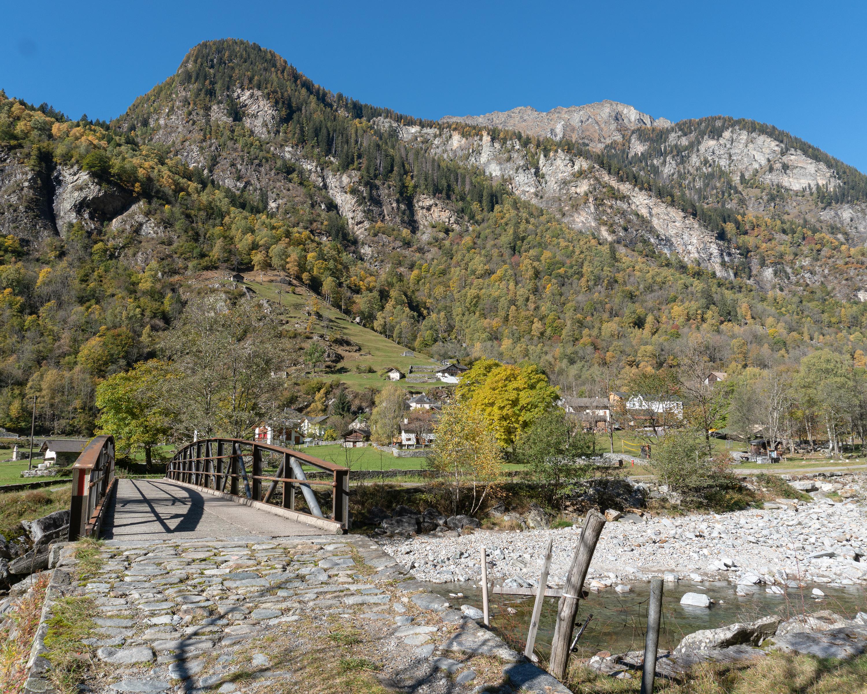
At times typically alpine, at times almost Mediterranean: an unexpectedly diverse landscape awaits visitors to the Calanca Valley. While hiking through chestnut forests and hamlets, one can learn about the settlement history of the region, which has managed to preserve its originality.

Booking Information

Height profile

Weather:

Ente Turistico Regionale del Moesano

Comments about this activity or place?

Thank you for your feedback!