DE
FR
IT
EN
Directory
Weather
Map / Route
Timetable
Leisure
TV guide
Cinema
Web search
Apps
More
Personal Data »
Login:
Register
Password forgotten
or
Log in with local.ch
Log in with Apple
Log in with Facebook
Log in with Google
Log in with LinkedIn
Please note that our new
privacy statement
as well as the revised
terms and conditions of use
apply.
Leisure
Hike
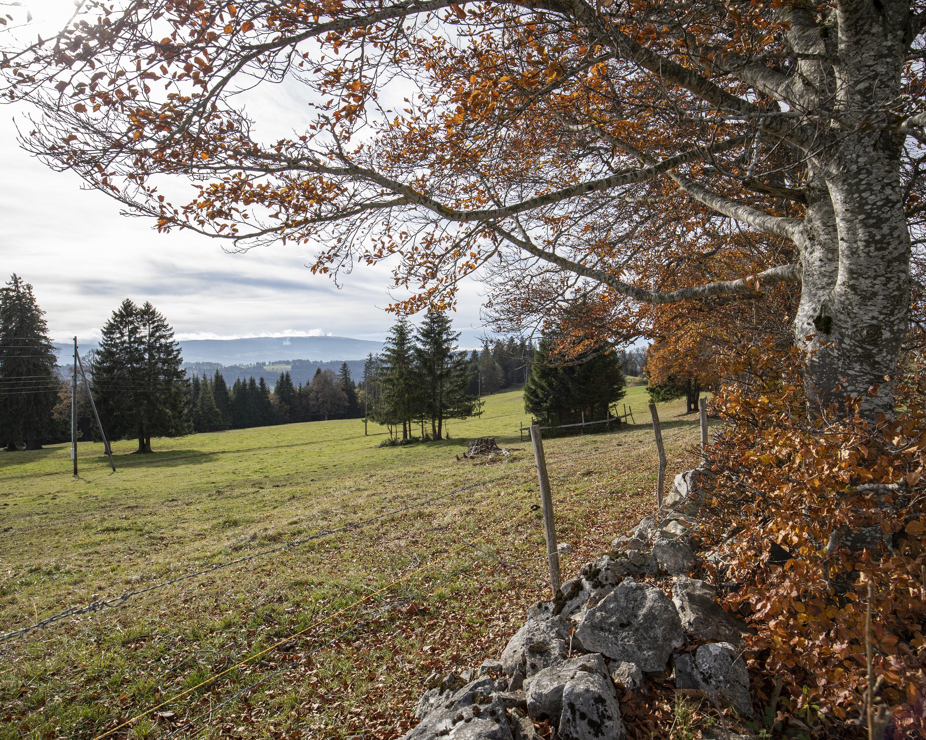
Chemin du Jura bernois
Regional route No. 91, Moutier–La Chaux-de-Fonds
Description
Regional route
No. 91 (Moutier–La Chaux-de-Fonds)
Length
65 km
Ascent • Descent
↑ 2200 m • ↓ 1800 m
Lowest point • Highest point
525 m • 1329 m
Grade
easy (hiking trail)
Fitness level
medium
Surprises: the Tour de Moron built by apprentices as well as renewable energies on Mont Soleil and Mont Crosin; picturesque little towns nesting between scenic heights. And don’t forget to sample spicy Tête de Moine cheese.
Comments on this information?
We welcome your feedback!
Presented by
Route
Height profile
Weather:
More...
Comments about this activity or place?
Incorrect information
Missing information
Another topic
Thank you for your feedback!
Close