search.ch

Chemin du Jura

Regional route No. 31, Glovelier–Saignelégier
  • Image 1

Description

Regional route
No. 31 (Glovelier–Saignelégier)
Length
21 km
Ascent • Descent
↑ 620 m • ↓ 140 m
Lowest point • Highest point
505 m • 1029 m
Hiking time
5 h 35 min
Grade
easy (hiking trail)
Fitness level
difficult
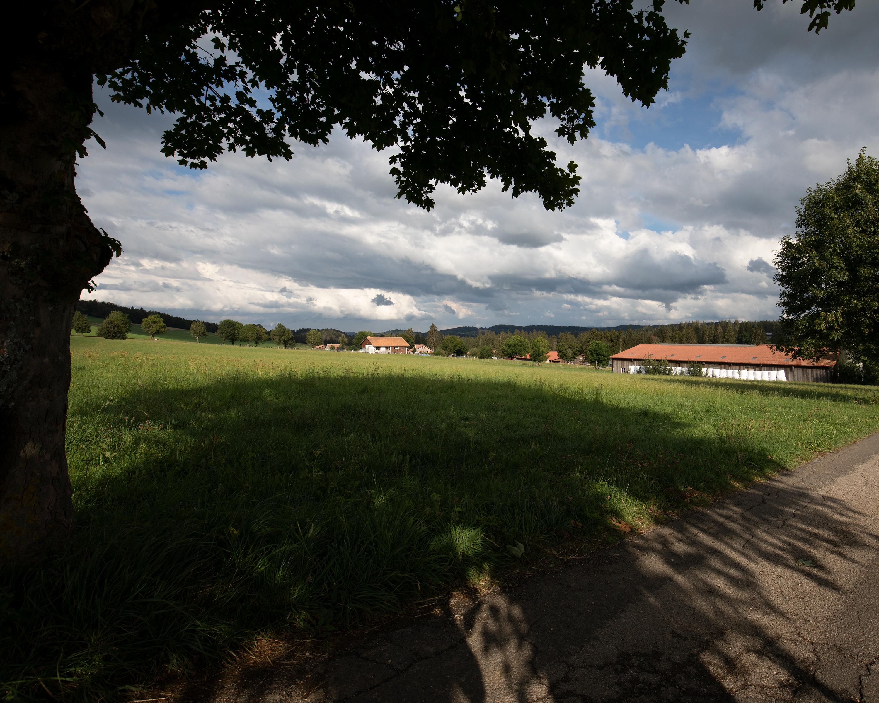
From Glovelier, the trail leads up to the Combe Tabeillon Nature Reserve. Passing several ponds, hikers reach Le Pré-Petitjean in the heart of the typical Freiberg landscape. Via Montfaucon, a traditional village built on the mountain ridge, you then go through pasture landscapes to Saignelégier.

Height profile

Weather:

Comments about this activity or place?

Thank you for your feedback!