DE
FR
IT
EN
Directory
Weather
Map / Route
Timetable
Leisure
TV guide
Cinema
Web search
Apps
More
Personal Data »
Login:
Register
Password forgotten
or
Log in with local.ch
Log in with Apple
Log in with Facebook
Log in with Google
Log in with LinkedIn
Please note that our new
privacy statement
as well as the revised
terms and conditions of use
apply.
Leisure
Hike in Ticino
Trans Swiss Trail
National route No. 2, Biasca–Bellinzona
Description
National route
No. 2 (Biasca–Bellinzona)
Length
25 km
Ascent • Descent
↑ 110 m • ↓ 160 m
Lowest point • Highest point
226 m • 293 m
Hiking time
6 h
Grade
easy (hiking trail)
Fitness level
difficult
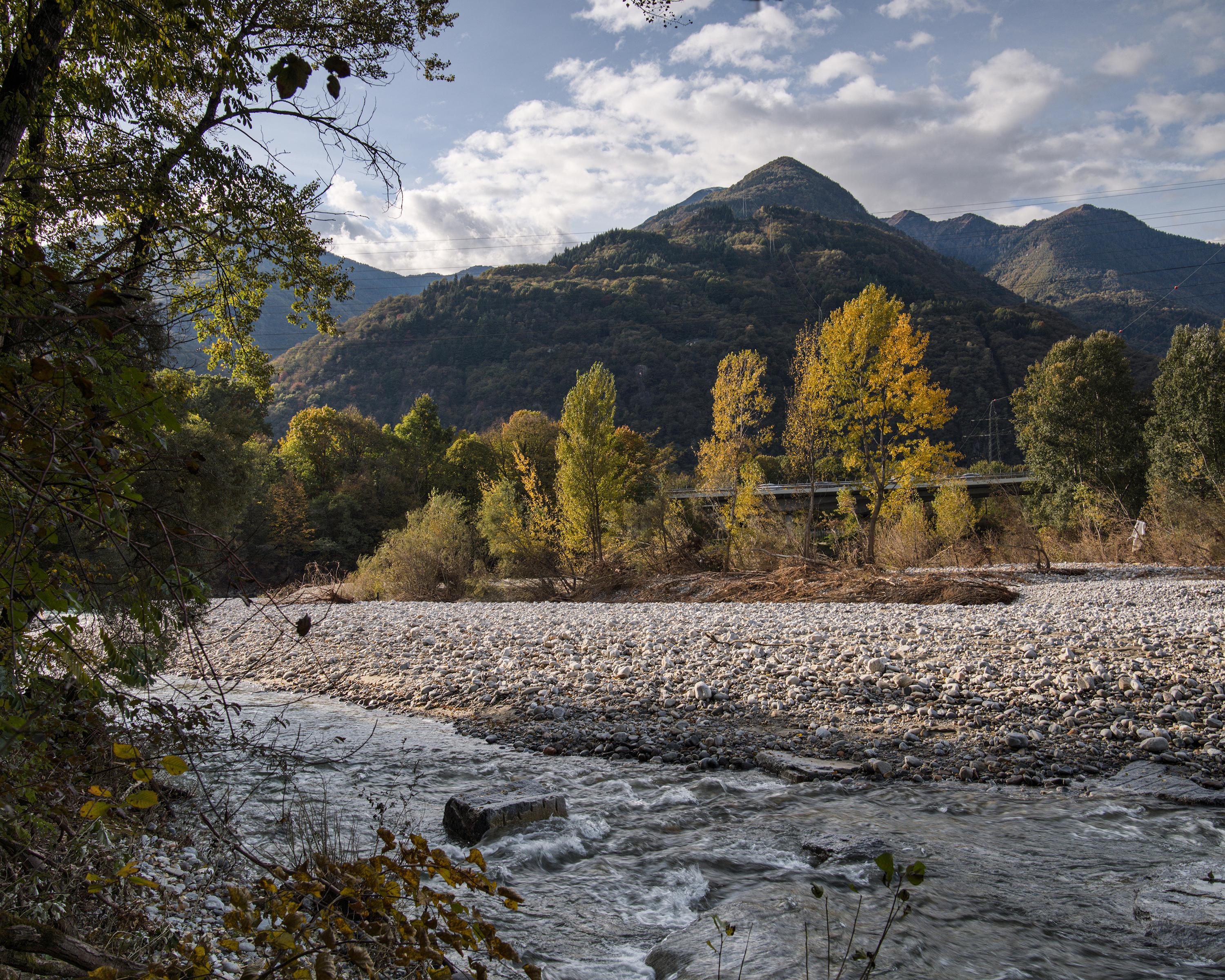
At Biasca the valley opens out into a wide long plain: the Riviera. Here begin magnificent rambles along the banks of the Ticino, mostly through riverside forests, often also on a river barrage. At the end, Bellinzona and its three castles.
Comments on this information?
We welcome your feedback!
Presented by
Route
Height profile
Weather:
More...
Comments about this activity or place?
Incorrect information
Missing information
Another topic
Thank you for your feedback!
Close