DE
FR
IT
EN
Directory
Weather
Map / Route
Timetable
Leisure
TV guide
Cinema
Web search
Apps
More
Personal Data »
Login:
Register
Password forgotten
or
Log in with local.ch
Log in with Apple
Log in with Facebook
Log in with Google
Log in with LinkedIn
Please note that our new
privacy statement
as well as the revised
terms and conditions of use
apply.
Leisure
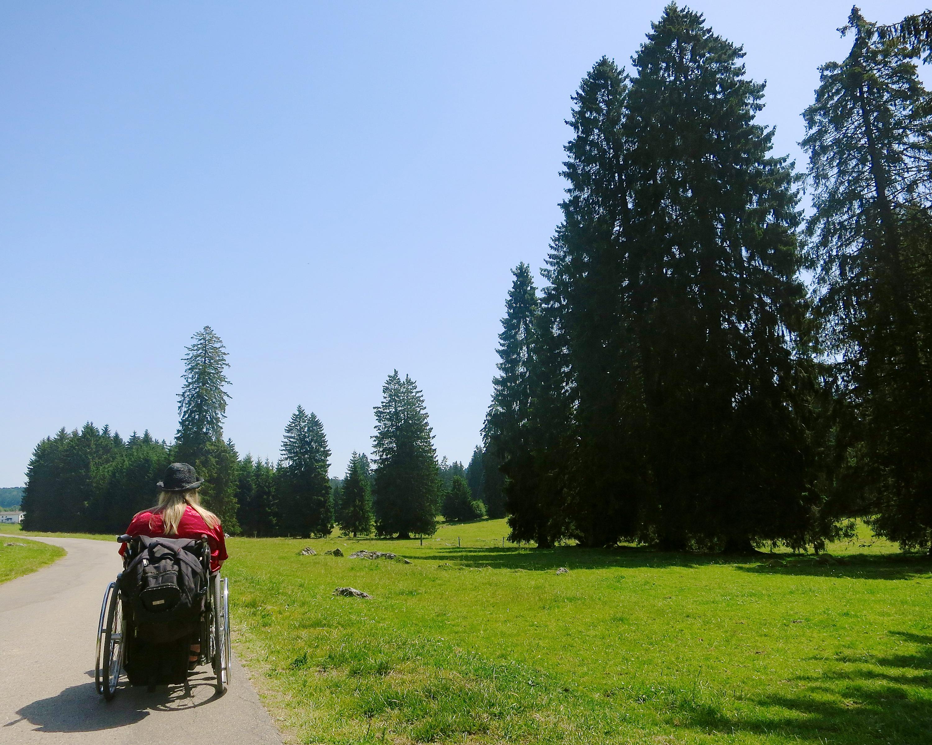
Activities in Freiberge / Saignelégier
Parcours de Saignelégier
Accessible route No. 465, Saignelégier–Saignelégier
Description
Accessible route
No. 465 (Saignelégier–Saignelégier)
Length
11 km
Ascent • Descent
↑ 170 m • ↓ 170 m
Lowest point • Highest point
950 m • 1014 m
Hiking time
2 h 35 min
Grade
medium (for wheelchair users)
Fitness level
difficult (for wheelchair users)
This rewarding tour leads through the home country of the Freiberger horses, to the small Jurassic town of Saignelégier. Here you can enjoy wide views over the extensive Jura pastures as well as the Franches-Montagnes district.
Booking Information
E-mail:
tourismus@procap.ch
Comments on this information?
We welcome your feedback!
Presented by
Route
Height profile
Weather:
More...
Procap Reisen & Sport
Frohburgstrasse 4, 4600 Olten
Procap Reisen & Sport
Frohburgstrasse 4, 4600 Olten
062 206 88 30
Comments about this activity or place?
Incorrect information
Missing information
Another topic
Thank you for your feedback!
Close