DE
FR
IT
EN
Directory
Weather
Map / Route
Timetable
Leisure
TV guide
Cinema
Web search
Apps
More
Personal Data »
Login:
Register
Password forgotten
or
Log in with local.ch
Log in with Apple
Log in with Facebook
Log in with Google
Log in with LinkedIn
Please note that our new
privacy statement
as well as the revised
terms and conditions of use
apply.
Leisure
Activities in Freiberge / Saignelégier
Chemin de la Courtine
Local route No. 459, Glovelier–Bellelay
Description
Local route
No. 459 (Glovelier–Bellelay)
Length
14 km
Ascent • Descent
↑ 680 m • ↓ 240 m
Lowest point • Highest point
505 m • 1047 m
Hiking time
4 h 10 min
Grade
easy (hiking trail)
Fitness level
medium
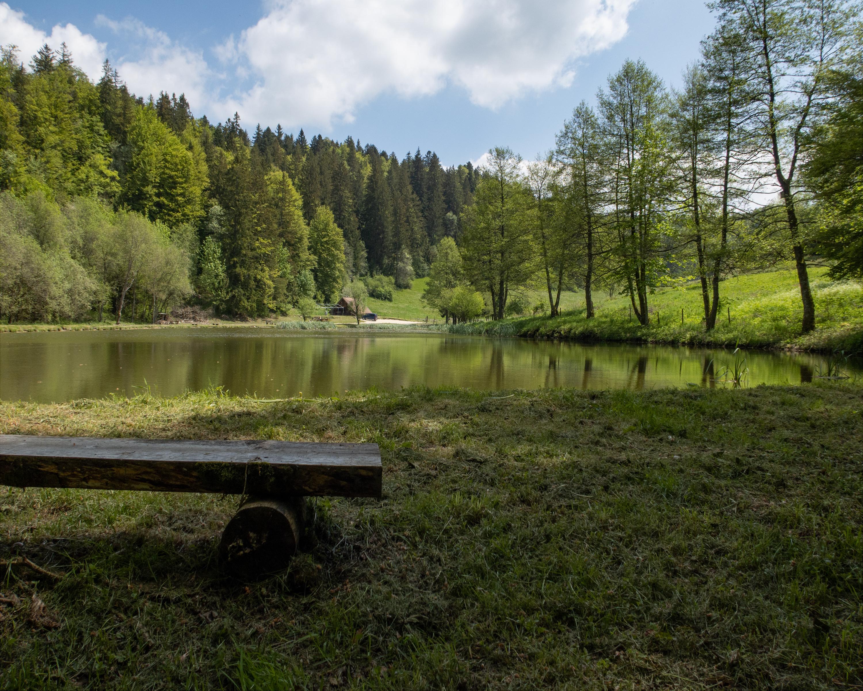
This hike begins with the ascent through the Combe Tabeillon, a wild gorge you leave halfway to get to the Franches-Montagnes plateau. Past hamlets, villages, ponds and wooded pastures, the route reaches Bellelay.
Booking Information
E-mail:
info@juratourisme.ch
Comments on this information?
We welcome your feedback!
Presented by
Route
Height profile
Weather:
More...
Jura Tourisme
Place du 23-Juin 6, 2350 Saignelégier
Jura Tourisme
Place du 23-Juin 6, 2350 Saignelégier
032 432 41 60
Comments about this activity or place?
Incorrect information
Missing information
Another topic
Thank you for your feedback!
Close