search.ch

Lötschberg-Panoramaweg

Regional route No. 56, Kiental–Fafleralp
  • Image 1

Description

Regional route
No. 56 (Kiental–Fafleralp)
Length
51 km
Ascent • Descent
↑ 3100 m • ↓ 2300 m
Lowest point • Highest point
925 m • 2690 m
Grade
medium (mountain hiking trail)
Fitness level
difficult
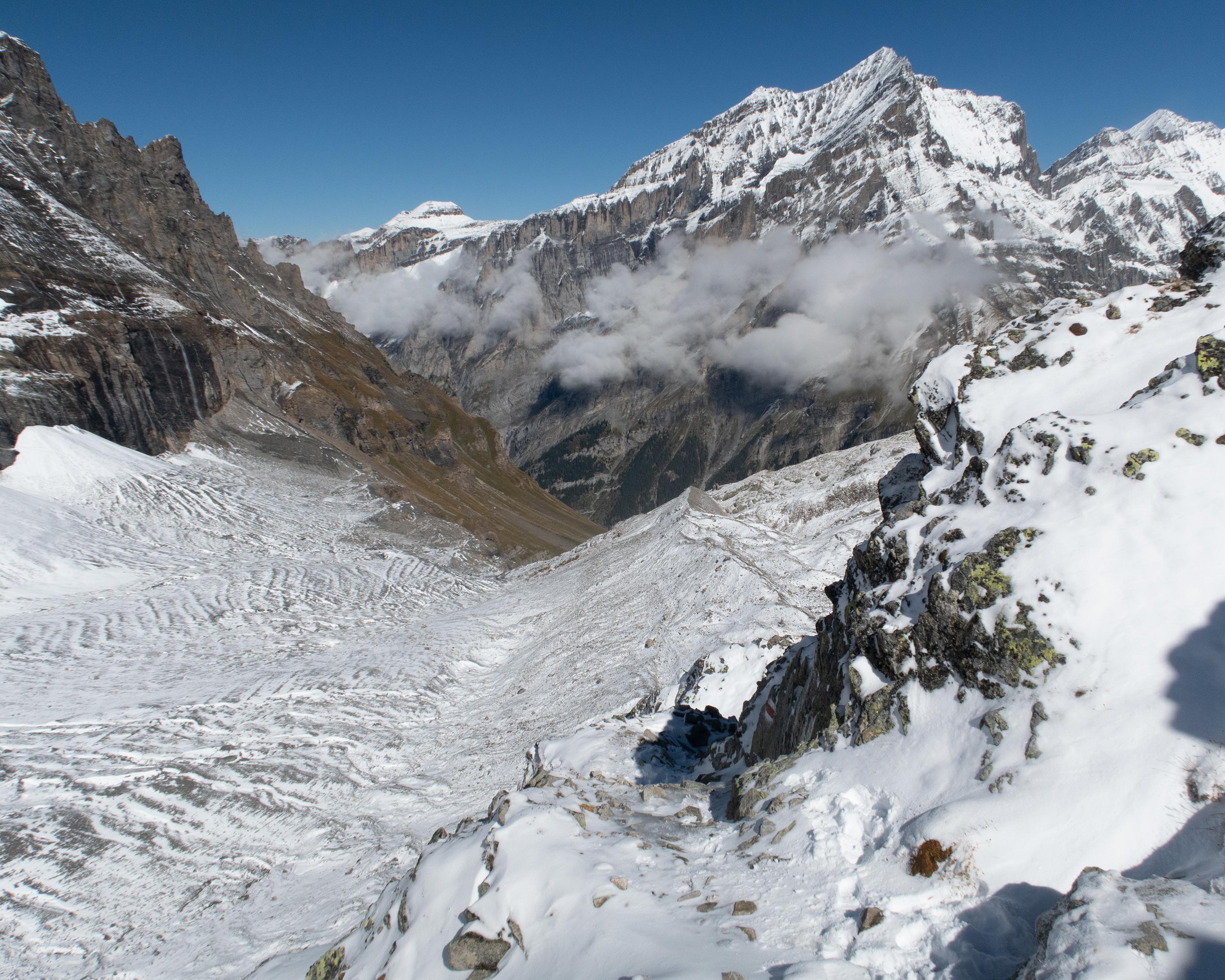
Four very varied days in the Lötschberg region. Sniff railway aromas high above the Kandertal, experience the rugged Gasteretal with all your senses. After crossing the Lötschengletscher (glacier), classic panoramic hike on the Lötschentaler Höhenweg.

Height profile

Weather:

Comments about this activity or place?

Thank you for your feedback!