DE
FR
IT
EN
Directory
Weather
Map / Route
Timetable
Leisure
TV guide
Cinema
Web search
Apps
More
Personal Data »
Login:
Register
Password forgotten
or
Log in with local.ch
Log in with Apple
Log in with Facebook
Log in with Google
Log in with LinkedIn
Please note that our new
privacy statement
as well as the revised
terms and conditions of use
apply.
Leisure
Hike
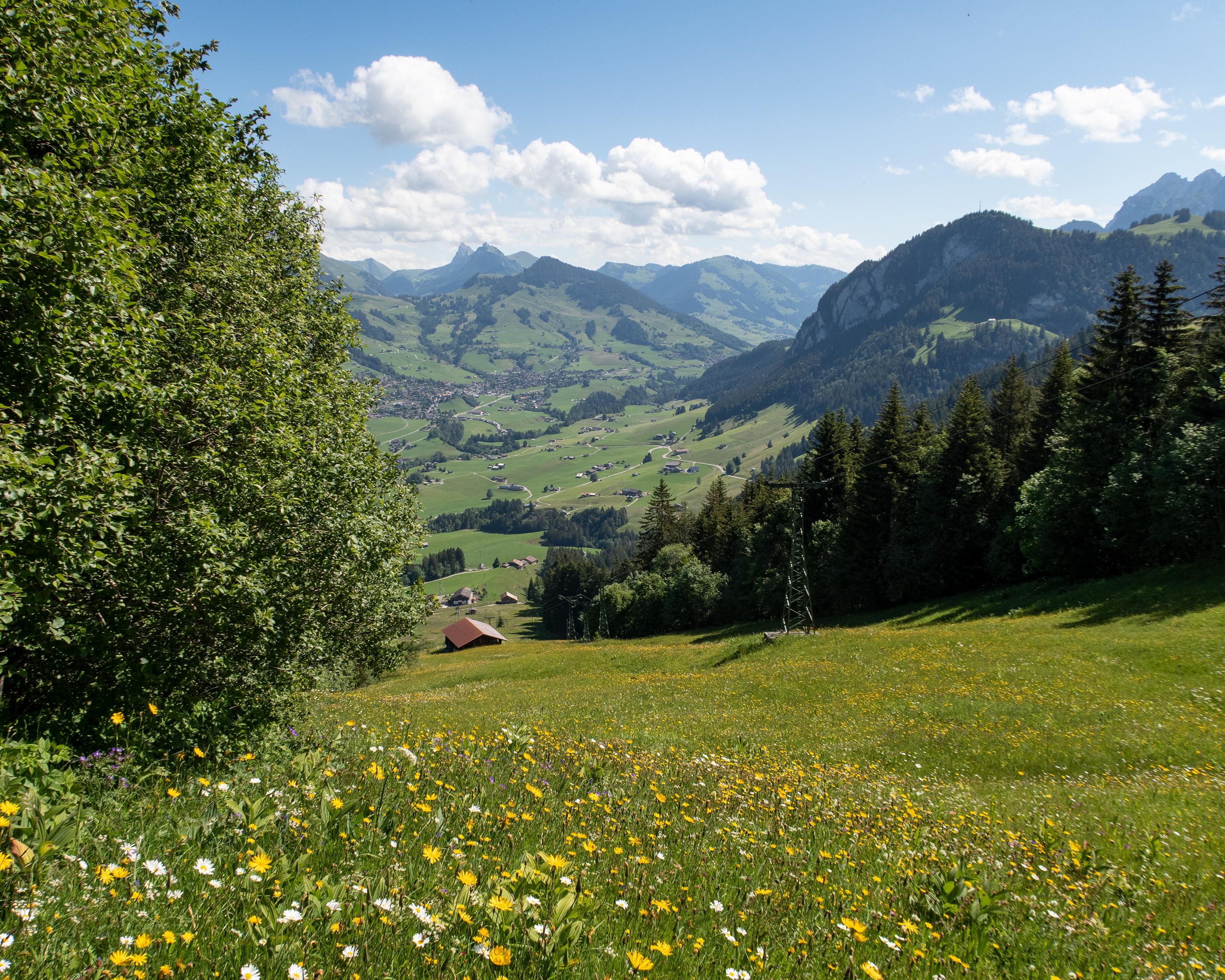
Tour des Alpes Vaudoises
Regional route No. 46, Les Mosses–Château-d’Oex
Description
Regional route
No. 46 (Les Mosses–Château-d’Oex)
Length
15 km
Ascent • Descent
↑ 400 m • ↓ 880 m
Lowest point • Highest point
882 m • 1498 m
Hiking time
4 h 15 min
Grade
medium (mountain hiking trail)
Fitness level
medium
Attractive trails lead down into the Pays-d'Enhaut, crossing wide pastureland. Descent from La Lécherette to Les Moulins, a tiny, picturesque mountain village. The section ends in Château-d'Oex, the main town of the Pays-d'Enhaut.
Comments on this information?
We welcome your feedback!
Presented by
Route
Height profile
Weather:
More...
Comments about this activity or place?
Incorrect information
Missing information
Another topic
Thank you for your feedback!
Close