search.ch

Sentier du Lac de la Gruyère

Local route No. 261, Corbières–Rossens FR
  • Image 1

Description

Local route
No. 261 (Corbières–Rossens FR)
Length
16 km
Ascent • Descent
↑ 560 m • ↓ 560 m
Lowest point • Highest point
677 m • 748 m
Hiking time
4 h 40 min
Grade
easy (hiking trail)
Fitness level
medium
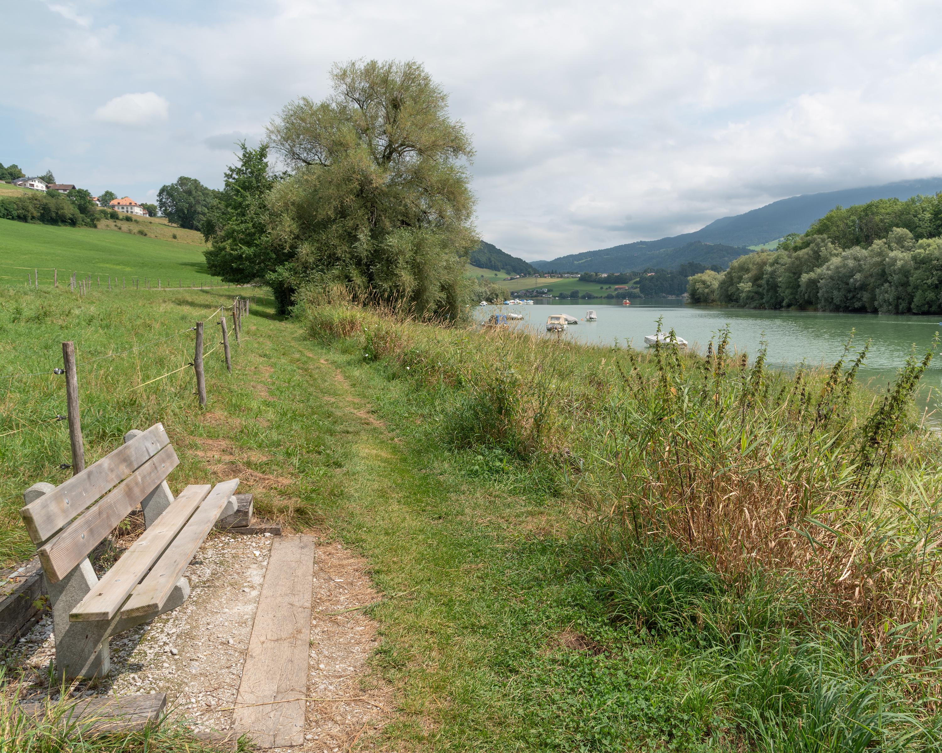
This stage is rich in history, including the stately Vuippens with its castle and gardens, the isle of Ogoz and its vestiges of mediaeval life. Along the shore, you can enjoy bathing, water sports or fine food, before returning to Rossens along the path that overlooks the lake and the molasse cliffs.

Booking Information

Height profile

Weather:

Comments about this activity or place?

Thank you for your feedback!