search.ch

Sentiero Caprino–Cantine di Gandria

Local route No. 608, Caprino–Cantine di Gandria
  • Image 1

Description

Local route
No. 608 (Caprino–Cantine di Gandria)
Length
4 km
Ascent • Descent
↑ 200 m • ↓ 200 m
Lowest point • Highest point
271 m • 330 m
Hiking time
1 h 20 min
Grade
medium (mountain hiking trail)
Fitness level
easy
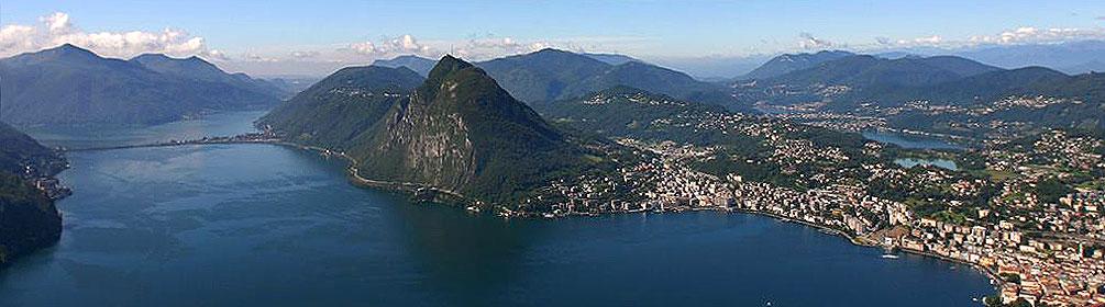
A hiking tour between lake and mountains in close contact with nature. At the foot of Monte Caprino the trail leads up and down through the forest and along the Lake of Lugano. Don’t forget to stop at the typical grottoes to taste Ticino specialties and also plan a visit to the Customs Museum in Cantine di Gandria.

Booking Information

Height profile

Weather:

Comments about this activity or place?

Thank you for your feedback!