search.ch

Via Engiadina

Regional route No. 87, Tschlin–Vinadi
  • Image 1

Description

Regional route
No. 87 (Tschlin–Vinadi)
Length
12 km
Ascent • Descent
↑ 400 m • ↓ 800 m
Lowest point • Highest point
1087 m • 1717 m
Hiking time
3 h 30 min
Grade
medium (mountain hiking trail)
Fitness level
medium
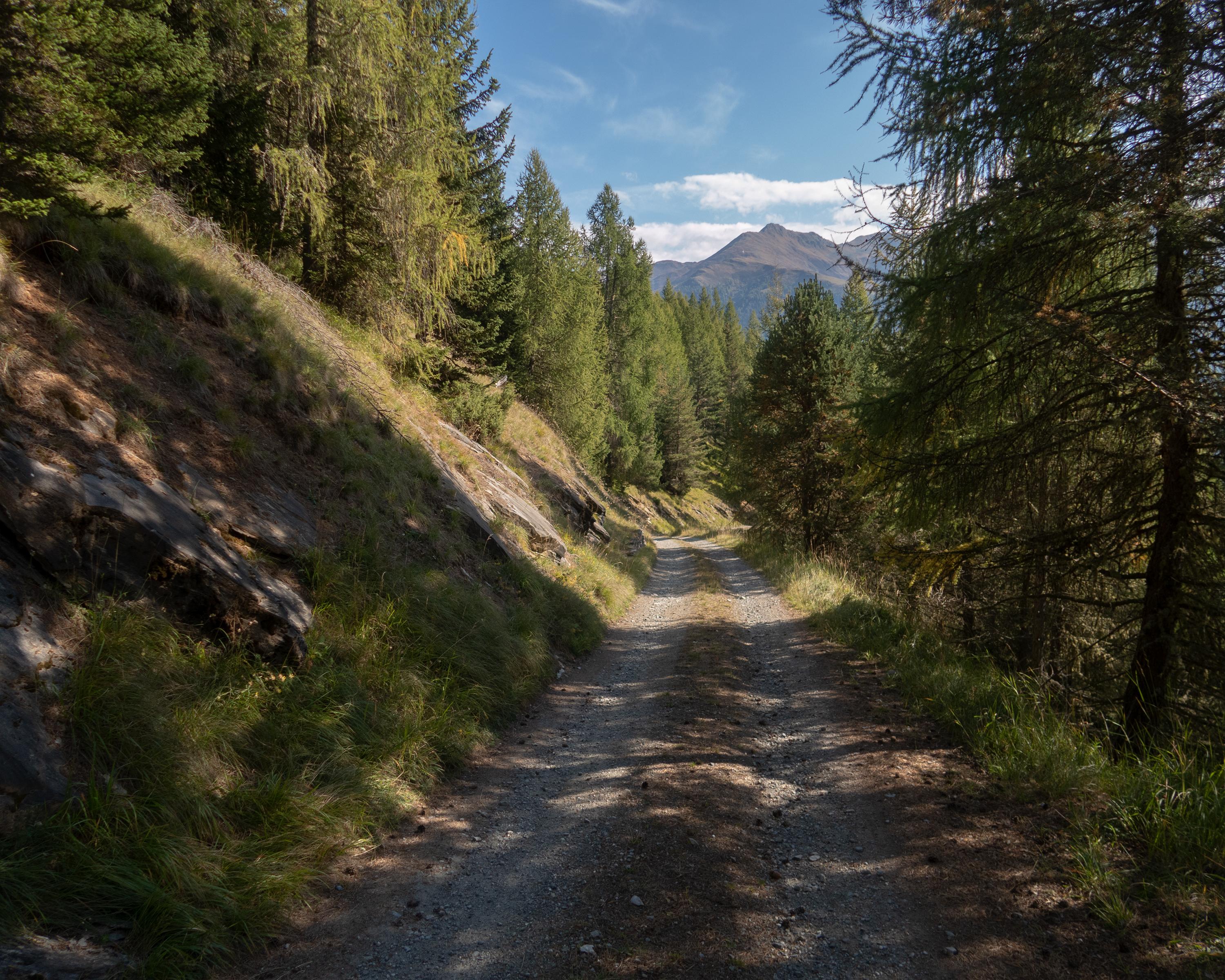
The last stage of the Via Engiadina leads north from the typical Engadine village of Tschlin to the end of the valley. The Inn River roars far below, and the border with Austria runs alongside it. The wild forests, steep cliffs, challenging stony gullies and spectacular views make this route extremely attractive.

Height profile

Weather:

Comments about this activity or place?

Thank you for your feedback!