search.ch

Jakobsweg Graubünden

Regional route No. 43, Müstair–Lü
  • Image 1

Description

Regional route
No. 43 (Müstair–Lü)
Length
17 km
Ascent • Descent
↑ 820 m • ↓ 160 m
Lowest point • Highest point
1246 m • 1914 m
Hiking time
5 h
Grade
medium (mountain hiking trail)
Fitness level
medium
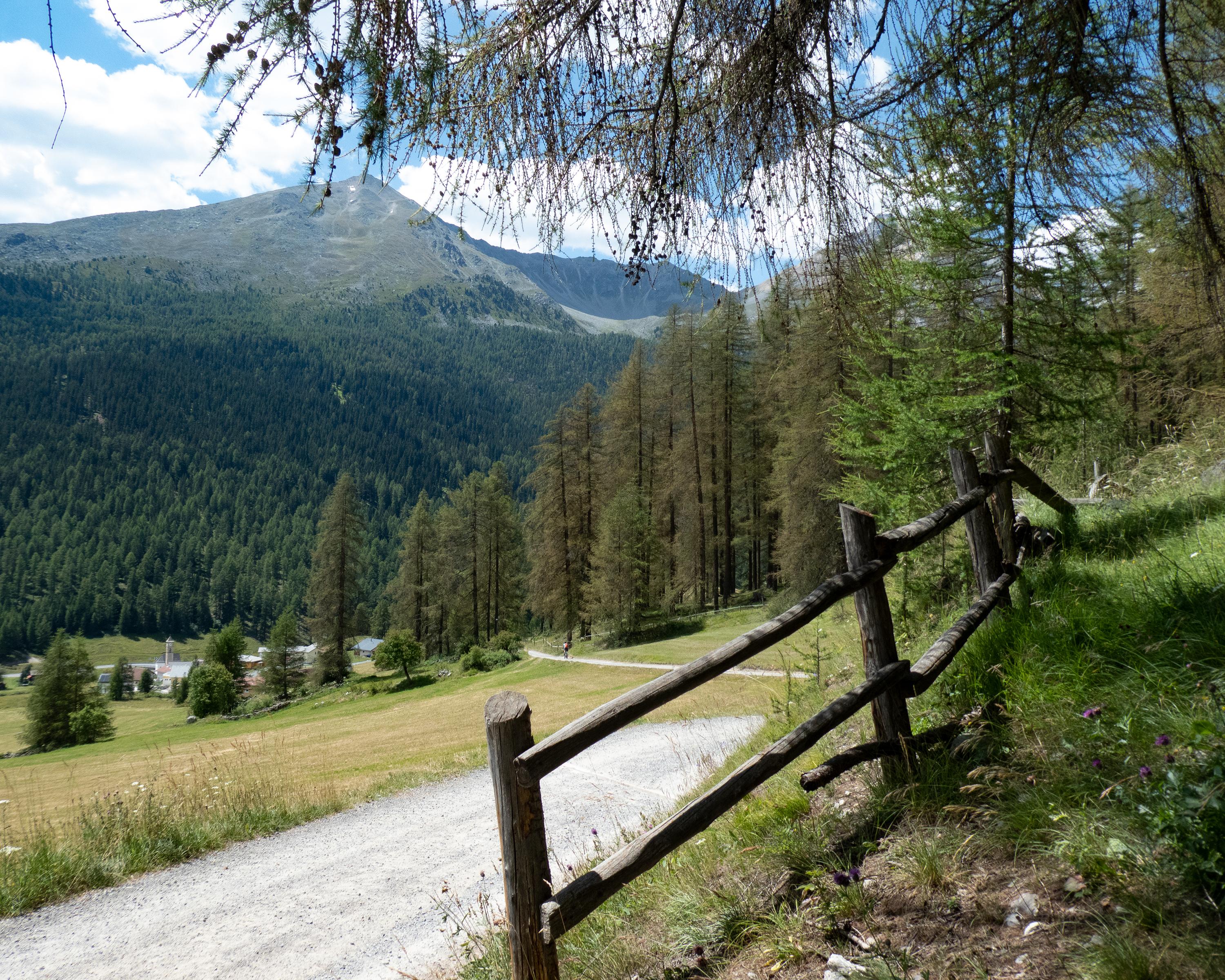
Müstair with St. Johann UNESCO World Heritage Site is your starting point for the leg over Sta. Maria, Valchava through the larch woods bordering the National Park, to Fuldera and Tschierv. And from the highest Ofenpass village over an upwards trail to Lü.

Height profile

Weather:

Comments about this activity or place?

Thank you for your feedback!