DE
FR
IT
EN
Directory
Weather
Map / Route
Timetable
Leisure
TV guide
Cinema
Web search
Apps
More
Personal Data »
Login:
Register
Password forgotten
or
Log in with local.ch
Log in with Apple
Log in with Facebook
Log in with Google
Log in with LinkedIn
Please note that our new
privacy statement
as well as the revised
terms and conditions of use
apply.
Leisure
Mountain bike
Alpine Bike
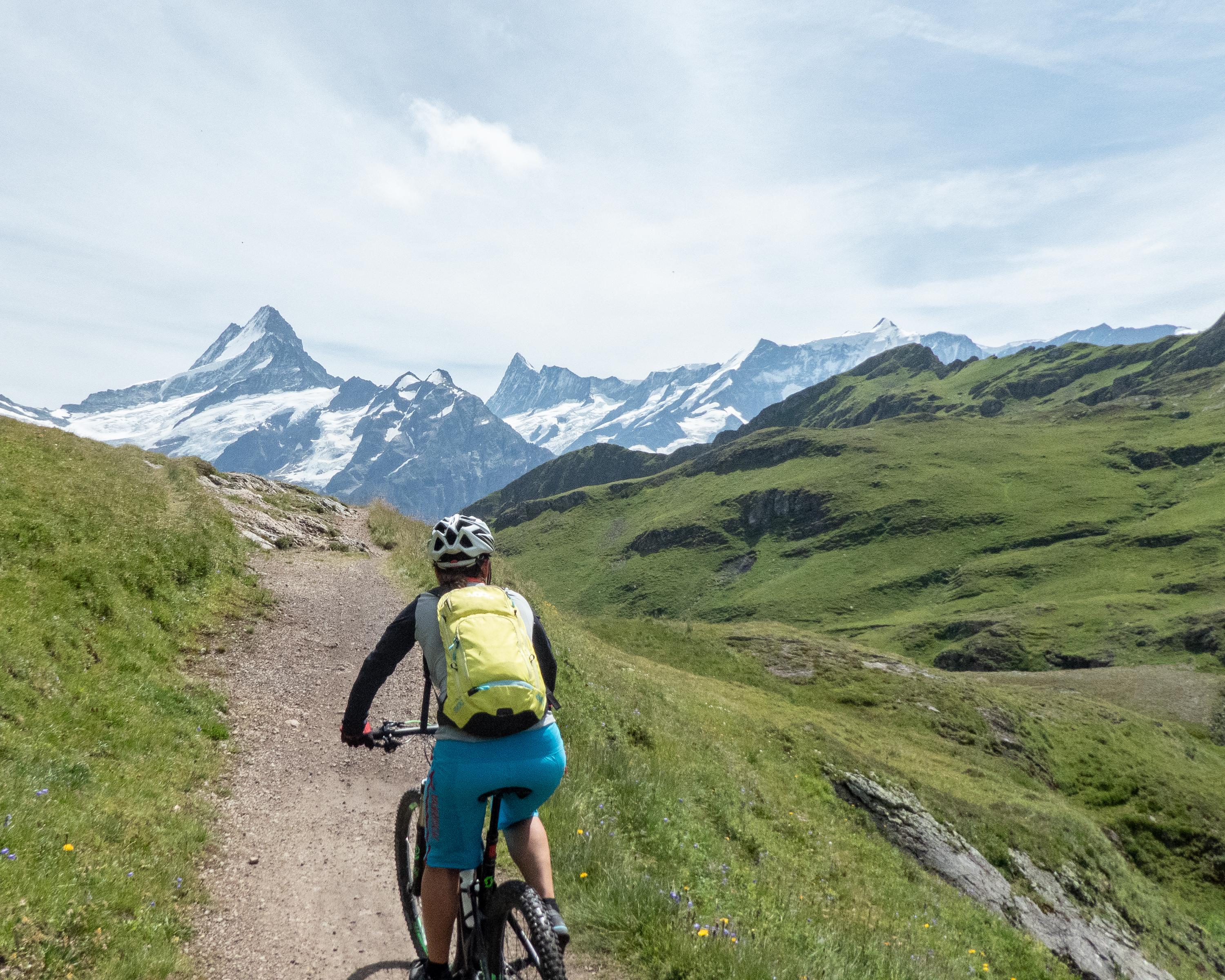
National route No. 1, Meiringen–Grindelwald
Description
National route
No. 1 (Meiringen–Grindelwald)
Length
37 km
Ascent • Descent
↑ 1900 m • ↓ 1450 m
Lowest point • Highest point
597 m • 2280 m
Grade
difficult
Fitness level
difficult
Easy, long ascent through Reichenbachtal up to Grosse Scheidegg at the foot of the mighty Wetterhorn cliffs. In a second loop, breathtaking descent to Grindelwald with spectacular, close-up views of the nearby glacier and snow-covered summits.
Comments on this information?
We welcome your feedback!
Presented by
Route
Height profile
Weather:
More...
Comments about this activity or place?
Incorrect information
Missing information
Another topic
Thank you for your feedback!
Close