DE
FR
IT
EN
Directory
Weather
Map / Route
Timetable
Leisure
TV guide
Cinema
Web search
Apps
More
Personal Data »
Login:
Register
Password forgotten
or
Log in with local.ch
Log in with Apple
Log in with Facebook
Log in with Google
Log in with LinkedIn
Please note that our new
privacy statement
as well as the revised
terms and conditions of use
apply.
Leisure
Activities
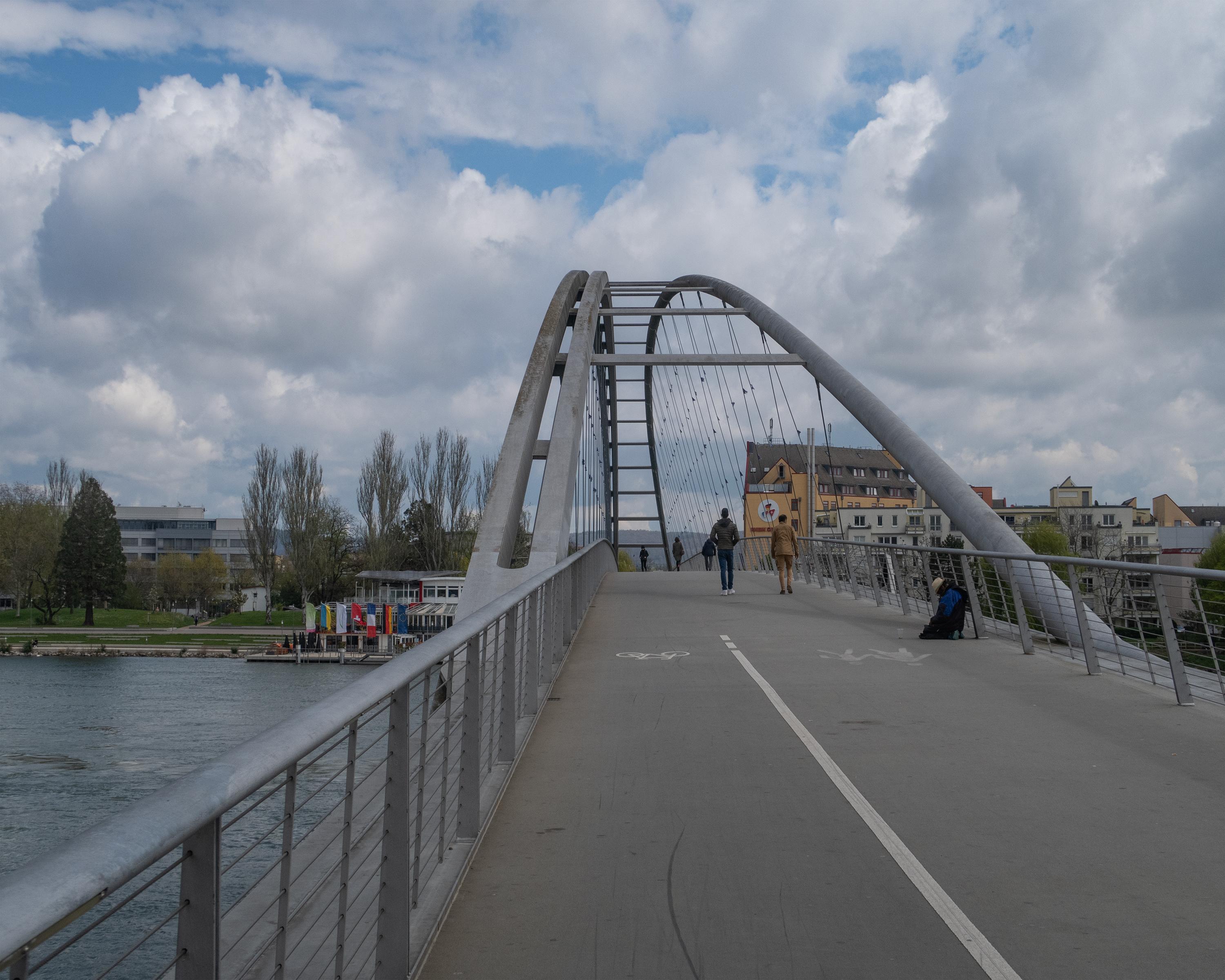
Dreiland-Wanderweg
Regional route No. 67, Basel, Schifflände–Basel, Schifflände
Description
Regional route
No. 67 (Basel, Schifflände–Basel, Schifflände)
Length
43 km
Ascent • Descent
↑ 900 m • ↓ 900 m
Lowest point • Highest point
244 m • 513 m
Grade
easy (hiking trail)
Fitness level
medium
With a detour into the neighbouring country, this route is taking a wide arc around Basel. The hike is marked by impressions along the Rhine, variety in the Markgräfler vineyard region and constantly changing views of the city.
Comments on this information?
We welcome your feedback!
Presented by
Route
Height profile
Weather:
More...
Comments about this activity or place?
Incorrect information
Missing information
Another topic
Thank you for your feedback!
Close