DE
FR
IT
EN
Directory
Weather
Map / Route
Timetable
Leisure
TV guide
Cinema
Web search
Apps
More
Personal Data »
Login:
Register
Password forgotten
or
Log in with local.ch
Log in with Apple
Log in with Facebook
Log in with Google
Log in with LinkedIn
Please note that our new
privacy statement
as well as the revised
terms and conditions of use
apply.
Leisure
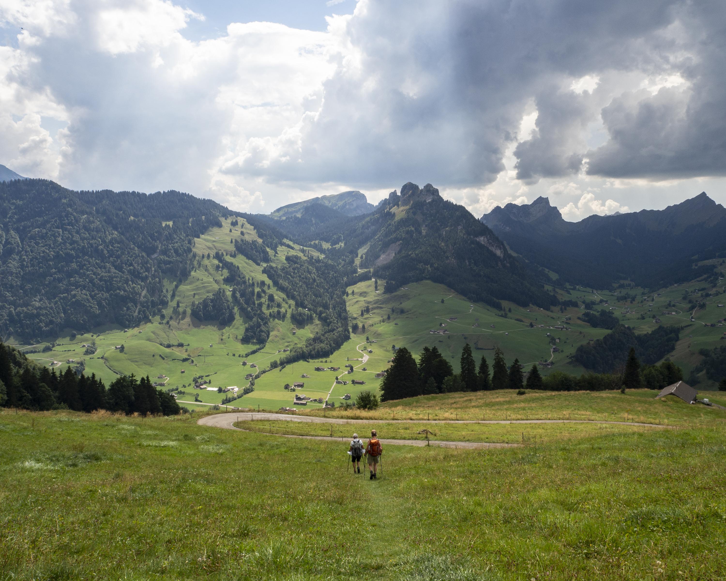
Hike
Alpine Panorama Trail
National route No. 3, Schwägalp–Stein SG
Description
National route
No. 3 (Schwägalp–Stein SG)
Length
12 km
Ascent • Descent
↑ 500 m • ↓ 1000 m
Lowest point • Highest point
838 m • 1458 m
Hiking time
3 h 50 min
Grade
medium (mountain hiking trail)
Fitness level
difficult
A splendid hike to Lutertannen and across the Risi pass vantage point to Stein in Toggenburg. Meadows and alpine pastures, natural moors and coniferous forests alternate in a colourful succession.
Comments on this information?
We welcome your feedback!
Presented by
Route
Height profile
Weather:
More...
Comments about this activity or place?
Incorrect information
Missing information
Another topic
Thank you for your feedback!
Close