DE
FR
IT
EN
Directory
Weather
Map / Route
Timetable
Leisure
TV guide
Cinema
Web search
Apps
More
Personal Data »
Login:
Register
Password forgotten
or
Log in with local.ch
Log in with Apple
Log in with Facebook
Log in with Google
Log in with LinkedIn
Please note that our new
privacy statement
as well as the revised
terms and conditions of use
apply.
Leisure
Activités in Pays de Glaris
ViaSuworow, Stage 9/11
Regional route No. 55, Stage 9: Glarus – Elm
Description
Regional route
No. 55 (Airolo – Ilanz)
Length
21 km
Ascent • Descent
↑ 660 m • ↓ 170 m
Lowest point • Highest point
471 m • 965 m
Hiking time
5 h 40 min
Grade
easy
Fitness level
difficult
Regional route No. 55:
ViaSuworow
Stages
1. Airolo – Gotthardpass
2. Gotthardpass – Andermatt
3. Andermatt – Wassen
4. Wassen – Altdorf
5. Altdorf – Biel-Chinzig
6. Biel-Chinzig – Muotathal
7. Muotathal – Hinter Klöntal
8. Hinter Klöntal – Glarus
9. Glarus – Elm
10. Elm – Pigniu
11. Pigniu – Ilanz
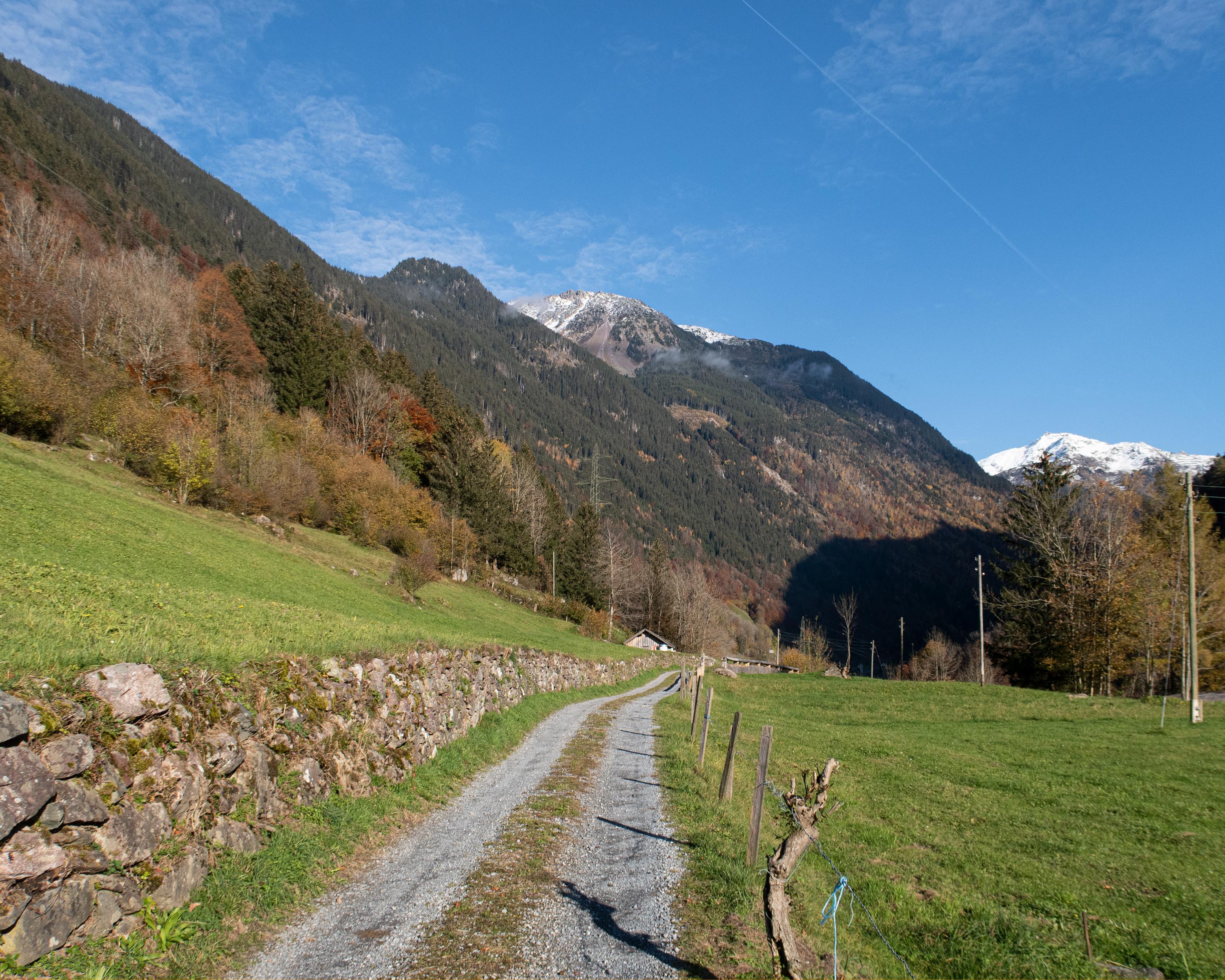
With the French in pursuit, Suvorov's troops marched southwards in snowfall towards Elm. The easy hike leads to Schwanden alongside the river Linth and then partly above, partly along, the river Sernf via Engi and Matt to Elm.
Comments on this information?
We welcome your feedback!
Presented by
Route
Height profile
Weather:
More...
Comments about this activity or place?
Incorrect information
Missing information
Another topic
Thank you for your feedback!
Close