search.ch

Des Franches-Montagnes au Doubs

Local route No. 457, Le Noirmont–Le Noirmont
  • Image 1

Description

Local route
No. 457 (Le Noirmont–Le Noirmont)
Length
15 km
Ascent • Descent
↑ 800 m • ↓ 800 m
Lowest point • Highest point
506 m • 1080 m
Hiking time
4 h 40 min
Grade
medium (mountain hiking trail)
Fitness level
medium
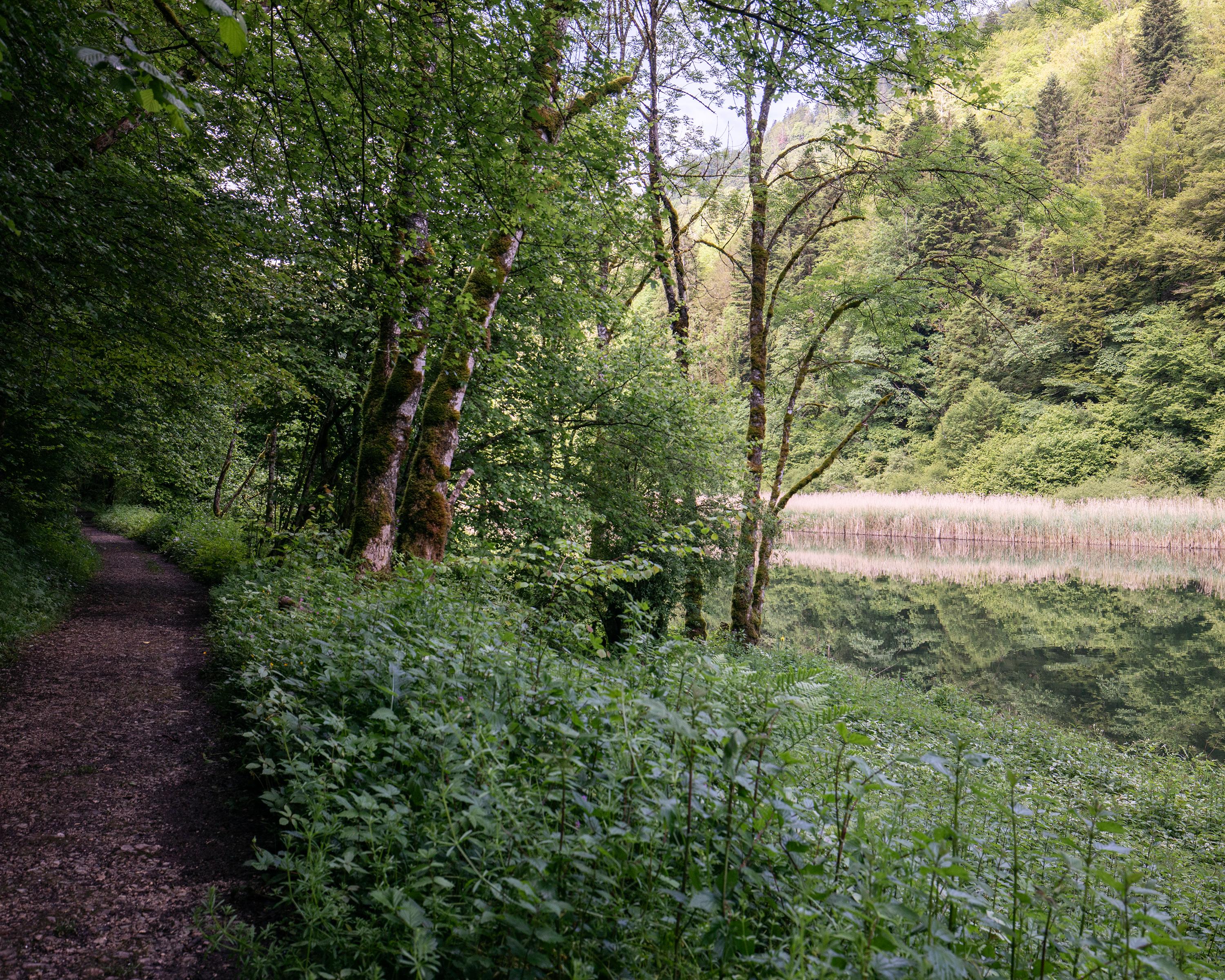
From the Freiberge Mountains to the banks of the Doubs. From Noirmont, the trail in the Doubs Nature Park descends down to the river and up to Sommêtre ridge, a narrow, steep cliff dropping into the valley. The views across the Doubs Valley and of the French Jura are very scenic.

Booking Information

Height profile

Weather:

Comments about this activity or place?

Thank you for your feedback!