DE
FR
IT
EN
Directory
Weather
Map / Route
Timetable
Leisure
TV guide
Cinema
Web search
Apps
More
Personal Data »
Login:
Register
Password forgotten
or
Log in with local.ch
Log in with Apple
Log in with Facebook
Log in with Google
Log in with LinkedIn
Please note that our new
privacy statement
as well as the revised
terms and conditions of use
apply.
Leisure
Attività in Oberland Bernese
Panorama Bike
National route No. 2, Thun–Schwarzsee
Description
National route
No. 2 (Thun–Schwarzsee)
Length
47 km
Ascent • Descent
↑ 1750 m • ↓ 1300 m
Lowest point • Highest point
554 m • 1626 m
Grade
difficult
Fitness level
difficult
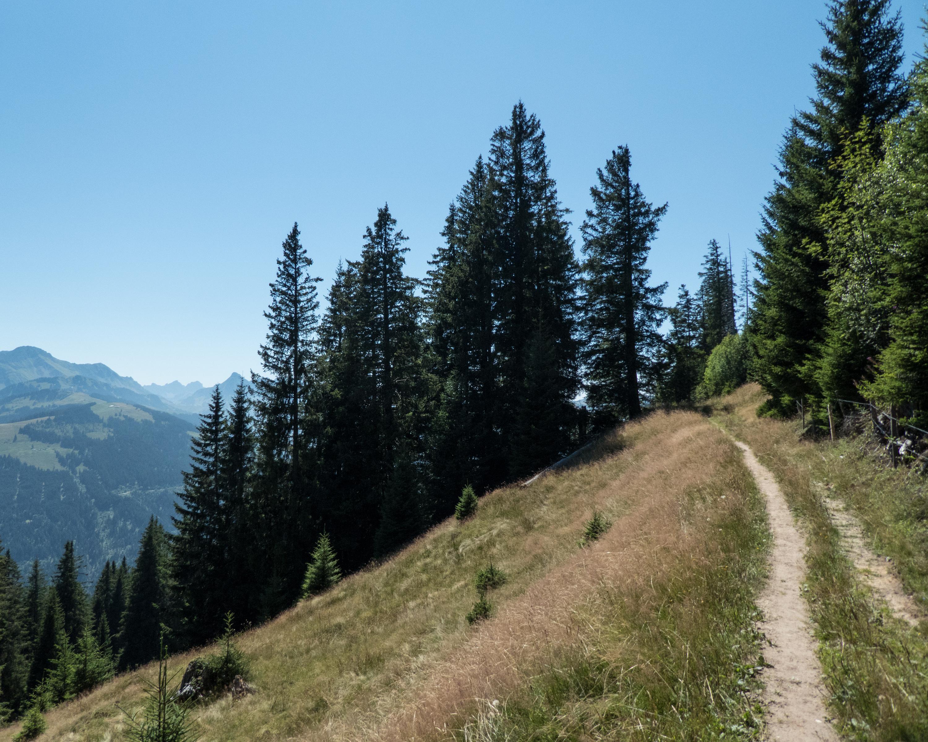
From the scenic town of Thun by the same-named lake, the route heads up towards the Gurnigel Pass into the untouched Alpine foothills of the Gantrisch region. Panoramic single trails lead into the Fribourg Alps and Lake Schwarzsee.
Comments on this information?
We welcome your feedback!
Presented by
Route
Height profile
Weather:
More...
Comments about this activity or place?
Incorrect information
Missing information
Another topic
Thank you for your feedback!
Close