DE
FR
IT
EN
Directory
Weather
Map / Route
Timetable
Leisure
TV guide
Cinema
Web search
Apps
More
Personal Data »
Login:
Register
Password forgotten
or
Log in with local.ch
Log in with Apple
Log in with Facebook
Log in with Google
Log in with LinkedIn
Please note that our new
privacy statement
as well as the revised
terms and conditions of use
apply.
Leisure
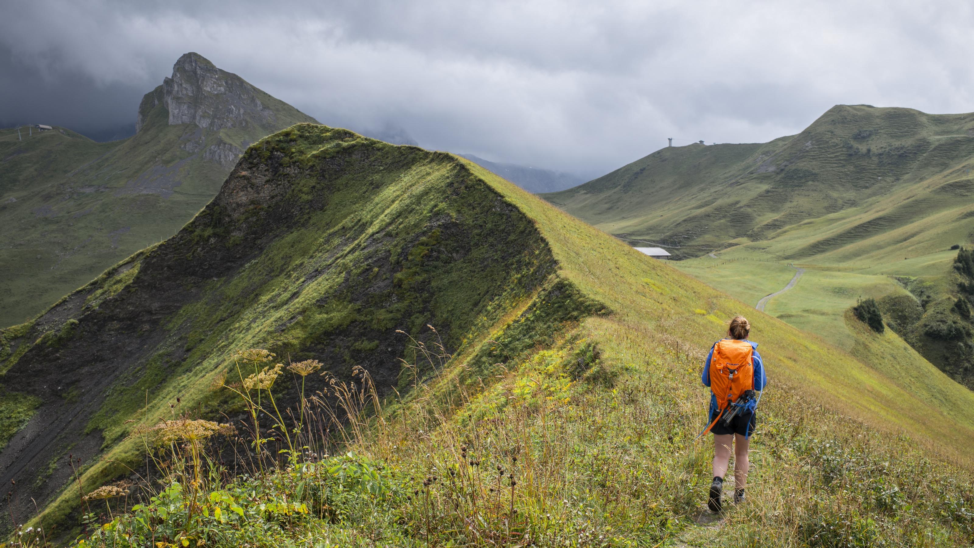
Activities in Adelboden
Via Alpina
National route No. 1, Adelboden–Lenk
Description
National route
No. 1 (Adelboden–Lenk)
Length
14 km
Ascent • Descent
↑ 700 m • ↓ 1000 m
Lowest point • Highest point
1068 m • 1951 m
Hiking time
4 h 30 min
Grade
easy (hiking trail)
Fitness level
difficult
Gentle climb alongside the Glisbach stream, through forest and moorland, over the Hahnenmoospass, then down to Lenk, superbly set in the Hinter Simmental basin, with spectacular waterfalls and the perfect backdrop of the Wildstrubel massif.
Comments on this information?
We welcome your feedback!
Presented by
Route
Height profile
Weather:
More...
Comments about this activity or place?
Incorrect information
Missing information
Another topic
Thank you for your feedback!
Close